19 hours ago
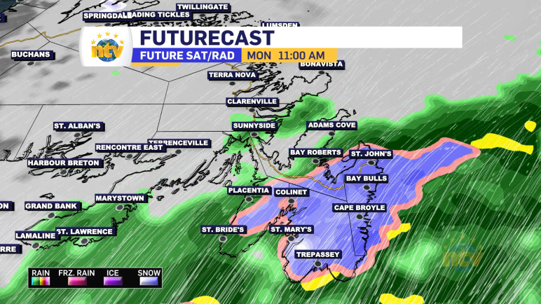
Easterly flow dominates the weather pattern on Monday, which means a return to clouds, drizzle and even fog for a large part of the Island. Highs today reach the lower to middle teens Island-wide. The warmest readings will be found in offshore flow and in areas away from east-facing shores. Showers will be found over […]
Read more
Multiple record and monthly highs were set throughout the Big Land Saturday, and numerous locations throughout the Province reached the lower 20s under bright sunshine and surprisingly light wind speeds. Rodney Barney, a Meteorologist with the Environment and Climate Change Canada Weather Office in Gander (ECCC NL) highlighted this with a tweet. Warm Saturday much […]
Read more
The long weekend is upon us and will start off on the unseasonably warm side for a large chunk of the Province. Friday saw numerous records fall in Labrador and on the Island, and I would suspect the same will happen today. Temperatures yesterday, and again today, will be between 10 and 15 degrees above […]
Read more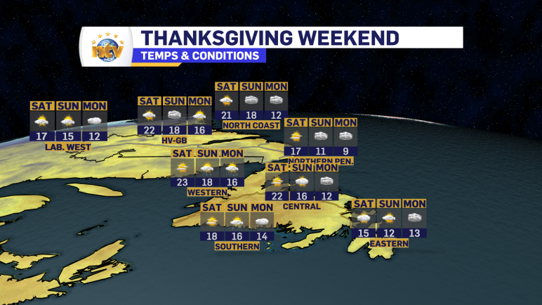
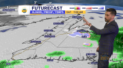
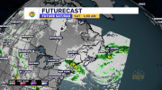
The unseasonably warm weather sticks around for the bulk of our long-holiday weekend. There will be a bit of a cooling trend as we make our way toward Sunday and Monday. I broke the forecast down in tonight’s NTV Evening News Hour
Read more