19 hours ago
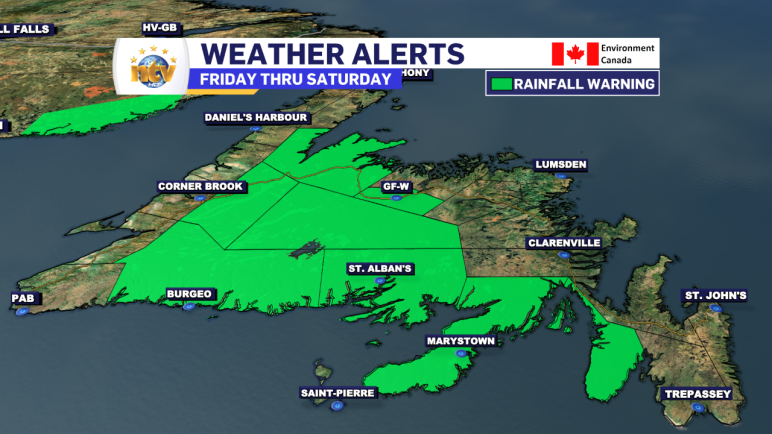
AS OF 3:51 PM NDT ON OCTOBER 14, 2023, THE RAINFALL WARNING WAS ENDED FOR ALL AREAS THAT WERE UNDER IT. THE AREAS THAT WERE UNDER A WARNING WERE AS FOLLOWS:
Read more
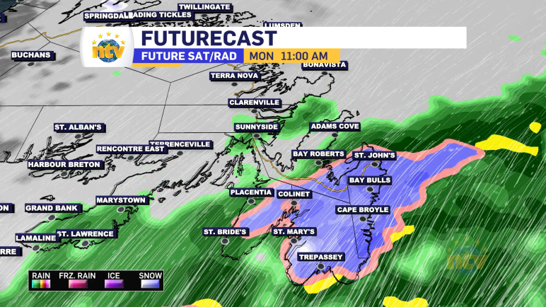
The Overview An area of low pressure will stall, and move from east to west (called retrograding) over and south of the Island between Friday evening and Sunday before dissipating over the region between Sunday night and Monday. The slow movement of this low, along with the positioning, will allow significant amounts of rain to […]
Read more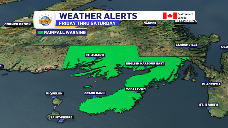
The Environment and Climate Change Canada Weather office in Gander has issued a RAINFALL WARNING from Friday night through Saturday for the following areas: Current details: Rain, at times heavy, is expected. Total rainfall: 50 to 70 mm, locally higher amounts possible. Locations: Burin and Connaigre Peninsulas. Time span: Friday night and Saturday. Remarks: Rainfall […]
Read more
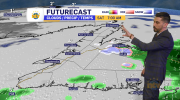
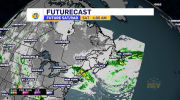
The Overview Our Thursday morning is starting off with some showers over, and just east of, the Avalon Peninsula. Radar shows this nicely and forecasts indicate that the activity will remain mostly offshore today. We are also seeing some showers over western and southwestern Newfoundland this morning, which will become more widespread in those areas […]
Read more