19 hours ago

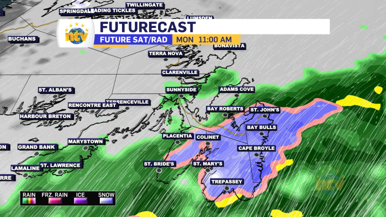
The Environment and Climate Change Canada Weather Office in Gander has issued two Special Weather Statements for the upcoming weekend. A strong area of low pressure is forecast to move through the Province. This is going to bring heavy rainfall to much of Newfoundland and parts of Labrador, heavy snowfall to northern and central Labrador, […]
Read moreThursday will see some flurries and showers working across the Island from west to east. They will arrive late morning to early afternoon on the west and southwest coast, mid-afternoon through central and down to the south coast and Burin Peninsula, and not until evening on the Avalon. Very little snowfall is expected, but some […]
Read more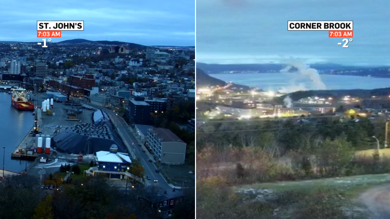
The day is certainly starting off on the chilly side and while we will recover some this afternoon, it’s by no means going to be a warm day. Here are temperatures as of 6:52 AM NST. Wind chills for a lot of us are close to -10. Weather-wise today, we are looking at generally the […]
Read moreAn area of high pressure well southeast of the Province will keep any major weathermakers at bay throughout the middle part of this week. Other than scattered flurries overnight and Wednesday, there’s not much going on for the next 24 hours. Beyond that, we will see some flurries and areas of light snow into Labrador […]
Read more