


1 year ago
Rain, wind continue through Friday on the Island while rain and freezing move into southeast Labrador
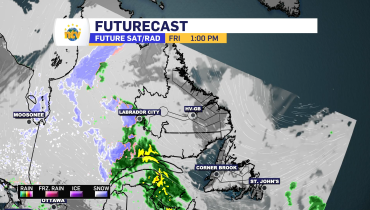
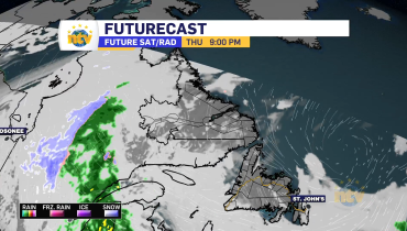
An intense area of low pressure spinning south of the Burin Peninsula is driving more rain and wind across the Island as we start the last day of the week. The image below, courtesy of Ventusky, shows the pattern very well. Weather Forecast Maps Radar imagery (from 6:15 AM) shows the rain is falling over […]
Read more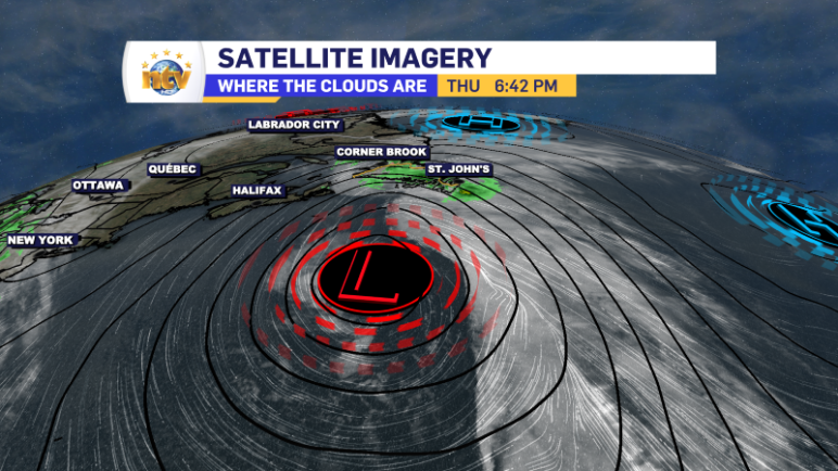
1 year ago
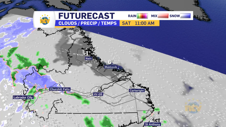
Rain continues into Friday as the damp weather pattern continues
Along with the rain on the Island, freezing rain will become a threat in parts of Labrador overnight and Friday. I went over all the details in my forecast from Thursday’s edition of the NTV Evening News Hour!
Read more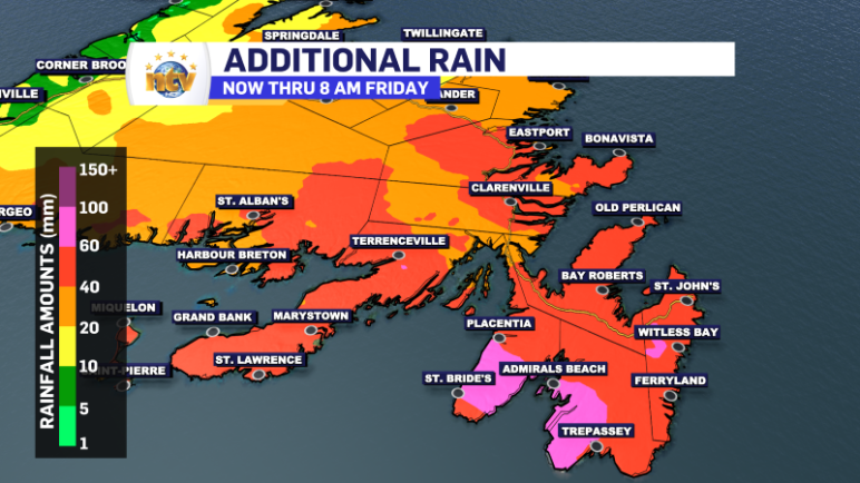
1 year ago
Rainfall and Wind Warnings remain in effect into Thursday
Rain, ice, snow and wind will continue over much of the Island overnight into Thursday morning. Thursday, warmer air will overwhelm the weather pattern, changing any frozen precipitation or mixing over to rain at midday. The high winds will continue into tonight before easing off by Thursday morning. Rainfall will also continue overnight and Thursday […]
Read more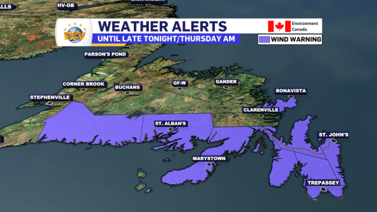
1 year ago
Wind Warning in effect for southern, eastern Newfoundland into Thursday morning
Strong northerly winds will be found over many areas of central, eastern, and southern Newfoundland today and tonight. Gusts will peak at 80 km/h for most areas, with wind speeds sustained at around 40 to 50 km/h. Some coastl areas see winds gusting as high as 100 km/h. Weather Forecast Maps The ECCC NL Weather […]
Read more