


Heavy snow is taking hold over much of western Newfoundland this afternoon. Radar shows the rain/snow/ice line working eastward over the last several hours. As of 3 PM it looks like the snow has made it as far east as Grand Falls-Windsor.
Areas that have seen heavy rainfall for the last 2 days are already turning into a winter wonderland. This video is from Deer Lake and was taken by Nathan Garcia around 2:30 PM on December 21, 2023.
Road conditions are only going to get worse, so be sure to check the NL511.ca map and/or app before you head out. I’d advise you NOT to travel throughout western Newfoundland today and tomorrow unless you absolutely must. Road conditions are going to be terrible and as the wind picks up overnight and Friday, visibility will be near zero at times.
TCH East bound…Corner brook/ Deer Lake @ 2:40pm extremely hazardous. Slow going #nltraffic #nlwx pic.twitter.com/IlEhk8m80w
— das cal (@calwhitejr) December 21, 2023
Travel conditions will worsen over much of the Island tonight and Friday as the snow expands and the wind picks up. We will see things improve on a wide scale later Friday, Friday night and Saturday as the snow ends from west to east and eventually moves offshore Saturday morning.
-

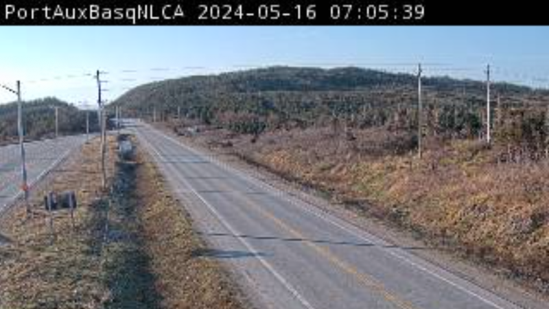
Foggy conditions persist across Newfoundland
There are patches of fog right across the province this morning. Roads are mostly dry.…
-

Threat of wildfires on west coast higher this year, say forestry officials
As residents of the province prepare to head out into the woods for the Victoria…
-
Wet roads across the province
Roads are wet across most of the province with fog on the Avalon and south coast. The…
