


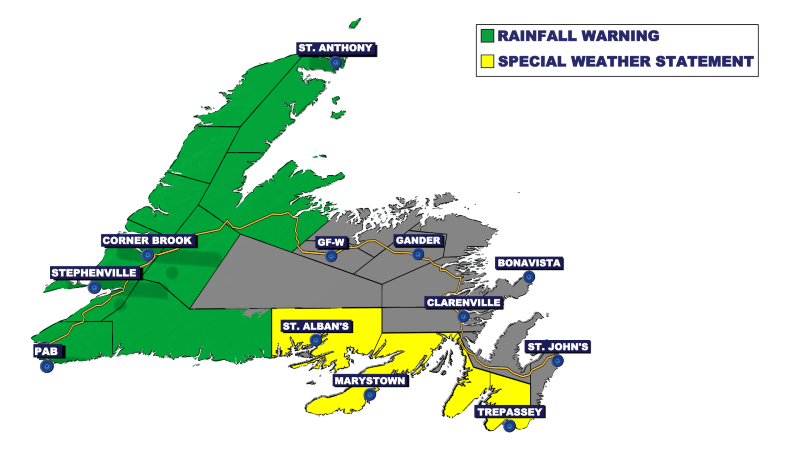
An area of low pressure will track from near North and South Carolina today to northern Labrador by early Sunday. The track of this low is such that it will direct a large amount of moisture at the region from today through late Saturday or early Sunday. Heavy rain amounts are expected across much of southern and western Newfoundland, and because of that, the Environment and Climate Change Canada Weather Office in Gander has issued Rainfall Warnings and Special Weather statements for much of southern and western Newfoundland for the time frame.
A Rainfall Warning is in effect for the following areas:
- Burgeo – Ramea
- Channel-Port aux Basaues and vicinity
- Corner Brook and vicinity
- Deer Lake – Humber Valley
- Gros Morne
- Bay St. George
- Green Bay – White Bay
- Northern Peninsula East
- Port Saunders and the Straits
- Parson’s Pond – Hawke’s Bay
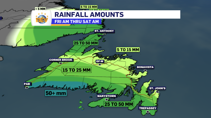
Rainfall in these areas will continue into Saturday, with amounts in the 40 to 70 mm range, with locally high amounts possible.
Steadier rainfall is expected to begin over the southwest coast later today. Significant runoff may occur as the rain combines with mild temperatures, leading to considerable snowmelt.
Localized flooding in low-lying areas is possible. Heavy downpours can cause flash floods and water pooling on roads. If visibility is reduced while driving, turn on your lights and maintain a safe following distance.
Rainfall warnings are issued when significant rainfall is expected.
A Special Weather Statement is in effect for the following areas:
- Avalon Peninsula Southeast
- Avalon Peninsula Southwest
- Burin Peninsula
- Connaigre
Total rainfall in these areas is expected to be in the 30 to 50 mm range, with locally higher amounts. The rain will begin Friday moring and continue through Saturday evening.
Rainfall rates may exceed 5mm per hour in some locations and localized flooding is possible.
Remember, a lack of an alert does not mean weather is not expected in your area. It just means taht the weather your area will see is not severe enough, or expected to be severe enough, to warrant alert from the Gander Weather Office. Get the lateast alerts for your area here!
-
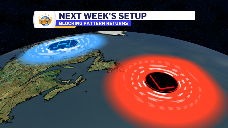
Some sunshine this weekend before the RDF takes hold next week
The weekend will start nicely for much of Newfoundland and Labrador. And by that, I…
-
Nicer weather arrives to end the work week!
The weather will generally improve across the Province overnight as an area of low pressure…
-
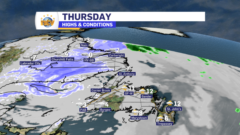
Rain, snow, and ice linger into Thursday across N.L.
Here is Eddie’s forecast from tonight’s NTV Evening News Hour
