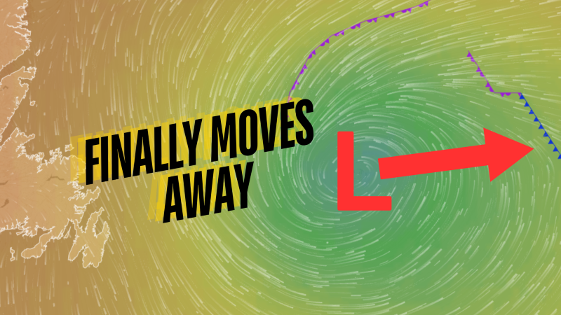
The area of low pressure swirling offshore for the last few days, helping to drive breezy conditions across the eastern third of Newfoundland, is finally drifting east, away from the Island. The result of that movement will be a gradual reduction in the wind speed throughout the day, which will become more noticeable this afternoon and evening.
Temperatures across the Province are certainly starting off on the cool side this morning, with readings for many in the single digits. It looks like Deer Lake may be the coolest spot in NL, with a reading of -2 as of just before 6:30 AM NDT.

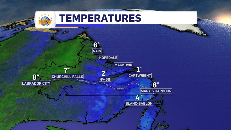
Temperatures for much of the Province will rebound nicely today under a fair bit of sunshine. High temperatures over most of the Island will reach the upper single digits to lower teens, while much of the Big Land will recover into the middle teens. The exception will be over eastern areas of the Island, where clouds will remain a bit stubborn, and over northern and western Labrador, where clouds will move ahead of some showers later today.
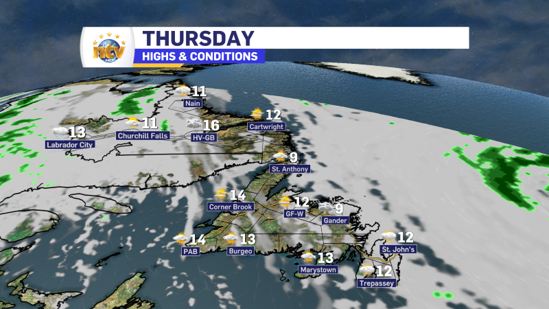
After today, there will be a marked warming trend across the Island for Friday and Saturday, with temperatures climbing into the middle and upper teens across most of the island (including the east). Friday and Saturday may feature a few showers over western parts of the Island and throughout Labrador.
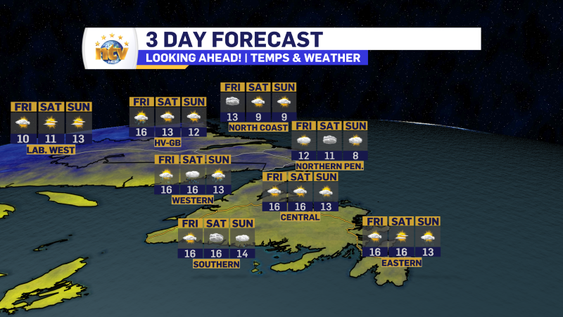
The extended forecast will be posted later today and will give you a better idea as to what we can expect this weekend. Until then, have a great day!
Eddie


