Good Wednesday morning! We’ve made it to the mid part of a short week!
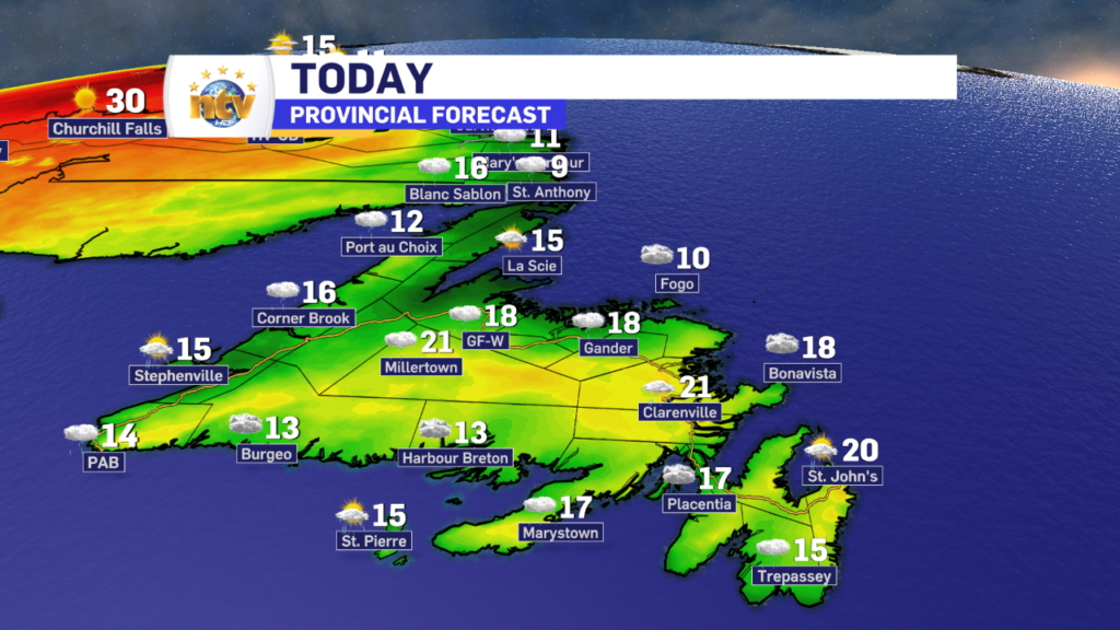
The weather is going to be one way on the Island, and another in Labrador. We will start with Labrador, where mainly sunny skies will be the rule. Temperatures will range from the lower teens on the coast, to near 30 (or more) in the west. The reason for the wide range is easterly flow. On the coast that will push ocean air inland, which will keep temps relatively low. That easterly flow has little impact on temperatures once far enough inland, hence the reason why western regions will get into the upper 20s and 30s. The air aloft is quite warm, and the wind was offshore, all of Labrador would be seeing unseasonably warm readings today.
The record for Wabush today is 28.5 set in 2013. I have almost no doubt that will be broken this afternoon.

On the Island today, we will see cloudy to mostly cloudy skies and areas of showers. The showers that we see today will be less widespread and much less intense than what we saw yesterday. The radar sweeps from this morning show showers are on the go over both eastern and western, but nothing significant is catching my eye.


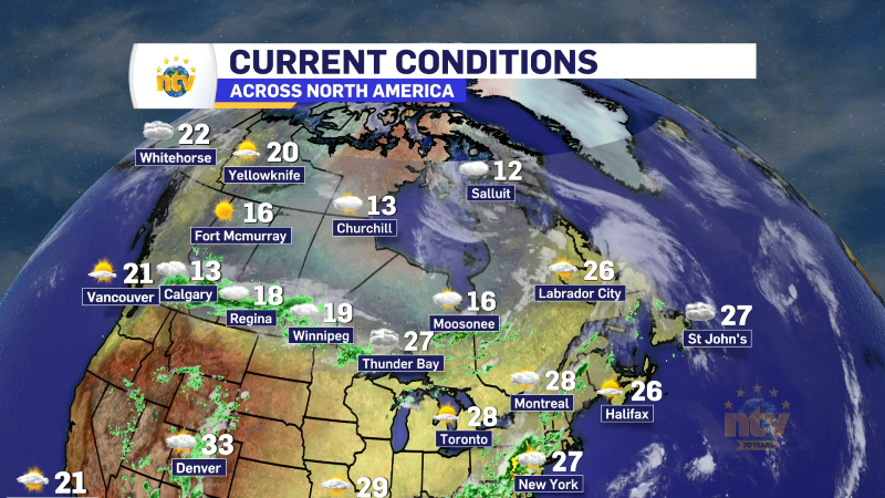
This afternoon may very well see some sunshine over parts of eastern and central. If this is the case, temperatures may end up a bit warmer than forecast. Humidex values will also shoot into the 30s today as it’s still quite muggy out there.

The animation below is of cloud cover. If you can see the map, that means the model is thinking clouds will not be in that given location.

It does look like some rain will arrive over southern, eastern, and portions of Central later tonight and into Thursday. So at the moment, Thursday is looking a bit more damp than today on the Island. Temperature-wise, it will be similar. And heat-wise, in Labrador, Thursday looks to be almost a carbon copy.
Have a great day!
Eddie


