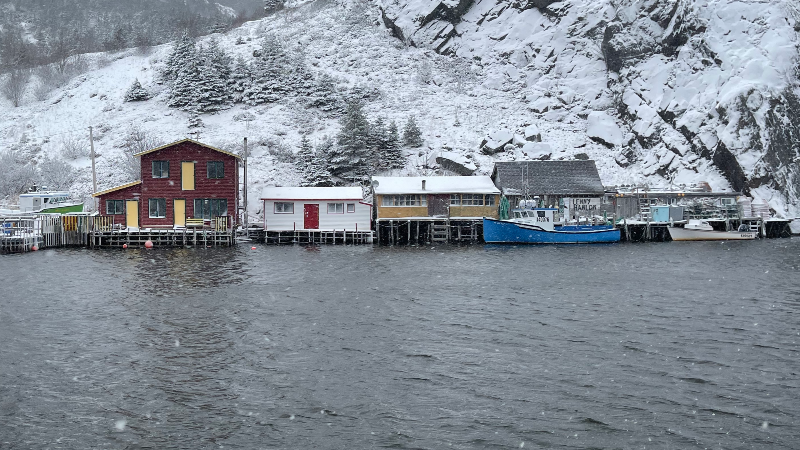
We are kicking off a new work week with some showers and flurries across the Avalon and Burin Peninsulas this Monday morning. These will move offshore in the next few hours, and the weather across the Island will generally remain uneventful through Tuesday. Meanwhile, the north coast of Labrador will see snow over the next couple of days, which will total well over 40 cm in the Torngats and the coast just of north Nain. Nain looks to see amounts below 15 cm over the next two days.

Temperatures across the Province today will not be overly cold. On the Island, we will climb to near freezing or a bit above, and much of Labrador will remain between -5º and -15º, with the coldest readings occurring in the west.
WINTER STORM WATCH IN EFFECT
The next winter storm will arrive late Tuesday night or early Wednesday morning and will bring snow to much of the Island into Friday and parts of Labrador into Saturday. The heaviest snowfall on the Island will be from Wednesday to Thursday. There is still some uncertainty with the exact track of this storm, but early indications are it will be a strong one, and many areas of eastern, southern, and central Newfoundland will see heavy snow amounts. Due to this, the Environment and Climate Change Canada Weather Office in Gander has issued a Winter Storm Watch for roughly the eastern half of the Island for Wednesday into Friday.

The weather alert states that total snowfall of 30 to 50 cm is likely over several days. With locally higher amounts possible. Wind gusts will also be as high as 80 km/h from the north
There is some uncertainty in exactly where the low will track, with relation to the Avalon. If it passes near enough, the snow may mix with or change to rain for part of the day on Wednesday, which would significantly impact snowfall accumulations. The rain will change back to snow later Wednesday if this happens. Precipitation for all other areas will likely remain as snow.
The snow will be accompanied by strong northerly winds, which could cause poor visibility and hazardous travel conditions in blowing snow. Rapidly accumulating snow could make travel difficult in some locations.
Remember, Winter storm watches are issued when multiple types of severe winter weather are expected to occur together.
Also, remember that my forecast, which I haven’t released yet, may differ from Environment Canada’s. I’ll have a full breakdown on the incoming system for you this evening on NTV, starting at 5:30 PM. There will also be further web updates throughout the day on NTV.ca and NTV+.


