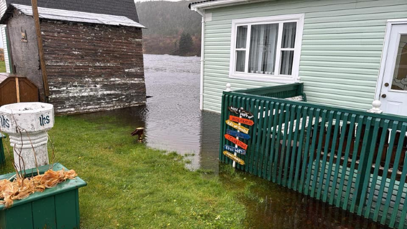
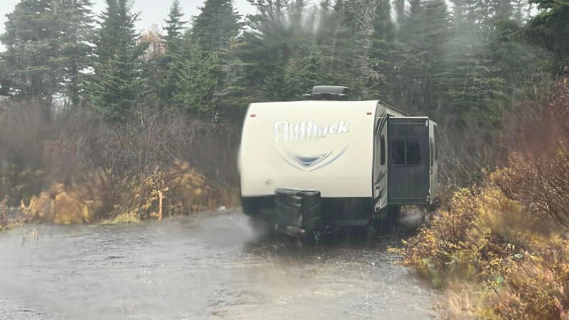
The above image was shared to me by April Wells, and was taken in Mose Ambrose.
Rain arrived on the Island late Thursday night in association with Tropical Storm Oscar’s remnants. The rain fell heavily at times from late Thursday night through late Friday night. The satellite image below shows our low departing the region Saturday morning.

Rainfall was expected to be the most significant over parts of the Burin and Connagire Peninsula, where up to 150 mm was forecast. Areas outside of that were expected to see between 50 and 100 mm, with locally higher amounts possible. While the tally for rainfall totals has yet to be released from the Environment and Climate Change Canada Weather Office in Gander, there have been some amounts tabulted by Rodney Barney, who is a Meteorlogist at the office.
There have been reports of some localized flooding around Clarenville and near the Connagire Peninsula. Although, to my knowledge, nothing has resulted in widespread washouts or towns being cut off from main roads.
This image was from Swift Current, taken Friday afternoon. I’d estimate that area saw close to, if not more than, 100 mm.
More flooding was reported on parts of the Burin Peninsula and South Coast. Curtis Drodge sent me images from both Saint Jacques and Belleoram.


The weather across the Island will slowly improve Saturday afternoon, with more showers in the forecast for Sunday.


