


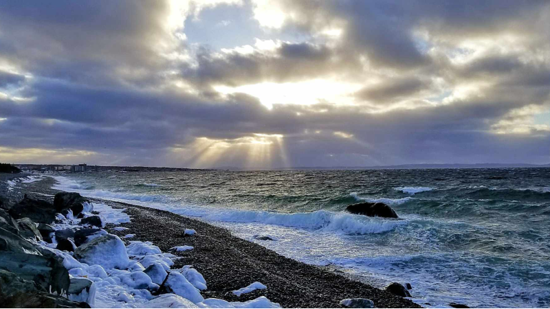
The image above is courtesy of Brant Parsons | Location: Topsial Beach
After a busy weekend in the wonderful world of weather in Newfoundland and Labrador, the new work wee is going to start off on a quiet note. We can thank this to a large area of high-pressure building across the region. The high building will drop the wind speeds and bring a remarkably sunny day to most of the region.

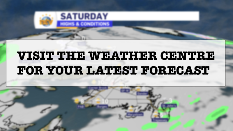
Today’s temperatures on the island will be significantly cooler than yesterday’s, on the order of 5º to 10º in some areas. Labrador will see readings near yesterday’s, perhaps a tad cooler on the coast. The forecast for today is in the image below.
The area of high pressure that moves in will keep the weather calm through Tuesday as well, with a similar day to Monday expected across much of the Province. The next area of low pressure moves in for Wednesday. This one will pass well west of the Province, which means we are going to be on the warm side of this one.
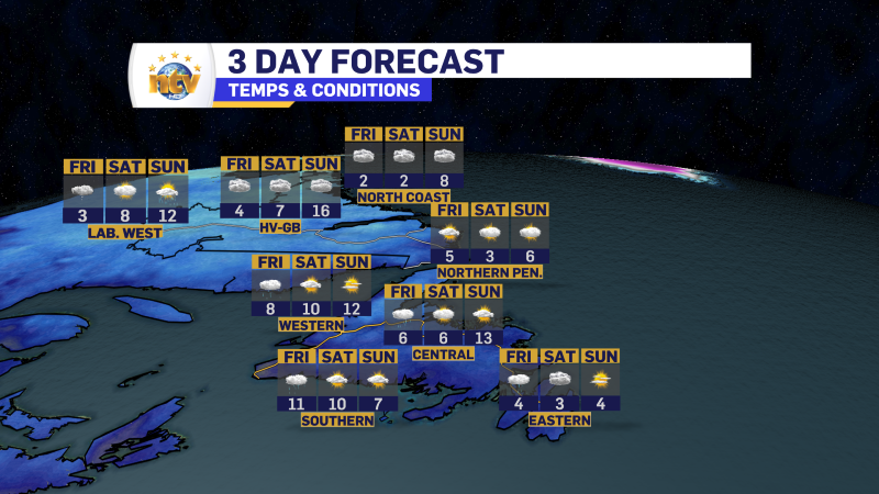
Labraodor will see a messy mix of snow and ice beginning Wednesday. Western Newfoundland will also see some combination of ice and snow changing to rain Wednesday, too. Wednesday night will see the weather clear out over the Big Land, while rain becomes more widespread on the Island. At this point it looks like showers will linger in many areas into Thursday. It also looks like Thursday will be another unseasobnly warm day on the Island, with many areas reaching 7º to 10º+ for highs. The image below depicts the current forecast temperatures for Thursday afternoon.

Your next forecast update will be this afternoon. Have a great Monday!
-
Your Latest Forecast!
Click here to visit the NTV Weather Centre to get your latest forecast!
-
Eddie’s Forecast; Some slight improvements for Friday, more noticeable this weekend
The area of low pressure that has driven all the wet weather across much of…
-

Eddie’s forecast; May starts like April ended
May starts like April ended… cold and damp for much of the Province. Eddie has…
