


HEAT WARNINGS REMAIN IN EFFECT
Thursday will see partly cloudy skies over the Big Land, with highs in the lower and middle 20s. Some areas along the Coast, in the Norman Bay to Lodge Bay areas, like Mary’s Harbour, will get close to 30°C again during the afternoon.
The Island will see highs ranging from the upper teens south to the upper 20s. The warmest areas will again be in parts of Central, northeastern, and Eastern where the mid to upper 20s will be more widespread.
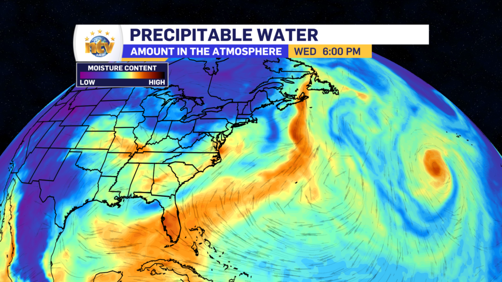
There will be afternoon showers and thunderstorms that develop on Thursday. They will start on the South Coast and make their way northward through the afternoon and evening. The biggest threat with these storms will be brief heavy rainfall, with rates on the order of 25 to 50 mm per hour.

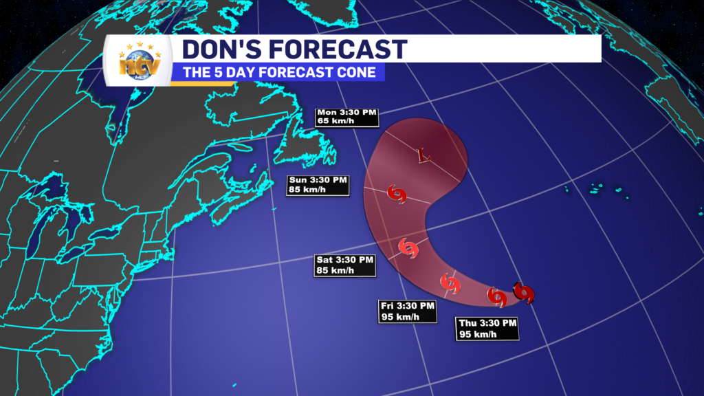
Tropical Storm Don is also spinning in the waters well south of N.L. This storm will not pose a threat to the Province but will pass relatively close late in the weekend or early next week. The rain and wind from this will remain well east of the Avalon Peninsula.
For your latest 7-Day forecast and all things weather, use the NTV Weather Page!
Also don’t forget to check our NTV+ app if you haven’t already!
-

Hot and humid start to the weekend
The Island will see sunny skies to start today. There are a few fog patches…


