An area of low pressure spinning east of the Island on Thursday will generate large swells and breaking waves, and possible storm surge along and near north-facing shorelines Thursday afternoon and evening. The Environment and Climate Change Canada Weather Office in Gander has issued a Special Weather Statement for the following areas:
- Green Bay – White Bay
- Bay of Exploits
- Bonavista North
- Terra Nova
- The Bonavista Peninsula
- Clarenville & vicinity
- The Avalon Peninsula North
- St. John’s & vicinity
Current details: Higher than normal water levels are expected.
Locations: White Bay to Cape St. Francis
Maximum wave heights: 6 to 9 metres, breaking upon approach to shore.
Time span: Thursday evening within a couple of hours on either side of high tide.
Remarks: Large waves and pounding surf will combine with storm surge to produce higher than normal water levels along the coast, especially near high tide and areas exposed to the north and northeast.
Similar events in the past have caused damage to coastal infrastructure and localized flooding, especially at locations that have been prone to impacts during similar events in the past.
-

35-year-old arrested in Conception Bay South on Saturday night
Police responded to a disturbance at a residence located in CBS area shortly before 11:00…
-
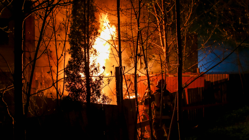
Photos and Video: Fire destroys west-end home, displaces several residents
A late-night fire has destroyed a home in the west end of St. John’s and…
-
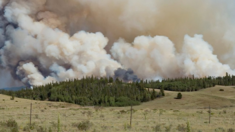
Evacuation orders and alerts lifted in Fort McMurray
The Regional Municipality of Wood Buffalo has cancelled the evacuation order and alert because of…