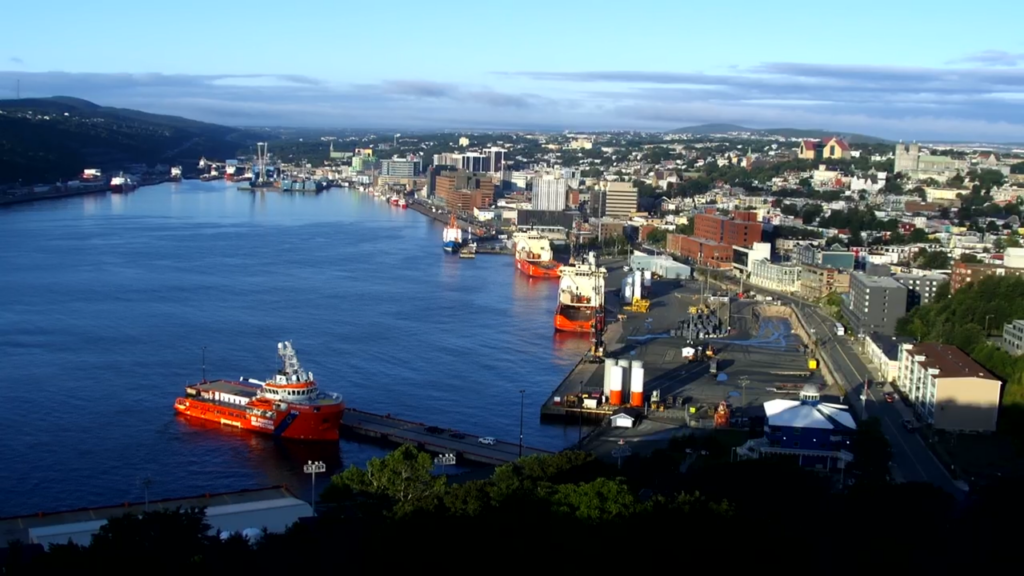
Good Friday morning! We’ve made it to the end of another work week and it looks like Mother Nature is going to reward many of us with a decent day.
Expect a large part of the Province to see a mix of sun and cloud today, with highs reaching the middle teens to lower 20s this afternoon. The coolest readings will be found in northern Labrador and the warmest over parts of Central and eastern Newfoundland. Below is a map of the expected highs today
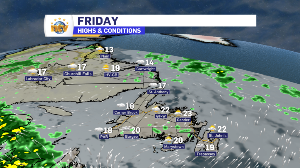
There will be some exceptions to the sunshine, and those areas will be found over the West Coast, Great Northern Peninsula, and parts of southeast Labrador, where showers will linger throughout much of the day. I also cannot rule out the chance of passing showers over Central and Eastern areas, especially this morning. In fact, radar shows a few over the Avalon and another near Fogo Island. Track them yourself using the interactive radar on the NTV Weather Page!

The next area of low pressure will swirl in tonight, and this will bring some heavy rain to parts of the Island late tonight and early Saturday morning. The weather on the Island will improve Saturday, while parts of Labrador will see the rain linger into Saturday. There is even the risk of some thunderstorms over parts of Central and eastern Newfoundland late tonight and Saturday morning. The map below shows this threat, and all you need to know about is the brighter the color the more likely storms are to pop up.

The rain from this next low will hold off until later this evening or later. I’ll have a more detailed update on the timing of it all later today.
Also, Saturday evening looks like it may be your best chance to see the Perseids Meteor Shower. Here is a blog post I put up yesterday about the event!
Have a great day!
Eddie


