Post 6 – 6:44 PM NST (6:14 PM AST)
My full forecast of what to expect on Sunday will be attached to this post shortly. Be sure to give it a watch at your convenience!
Post 5 – 5:52 PM NST (5:32 PM AST)
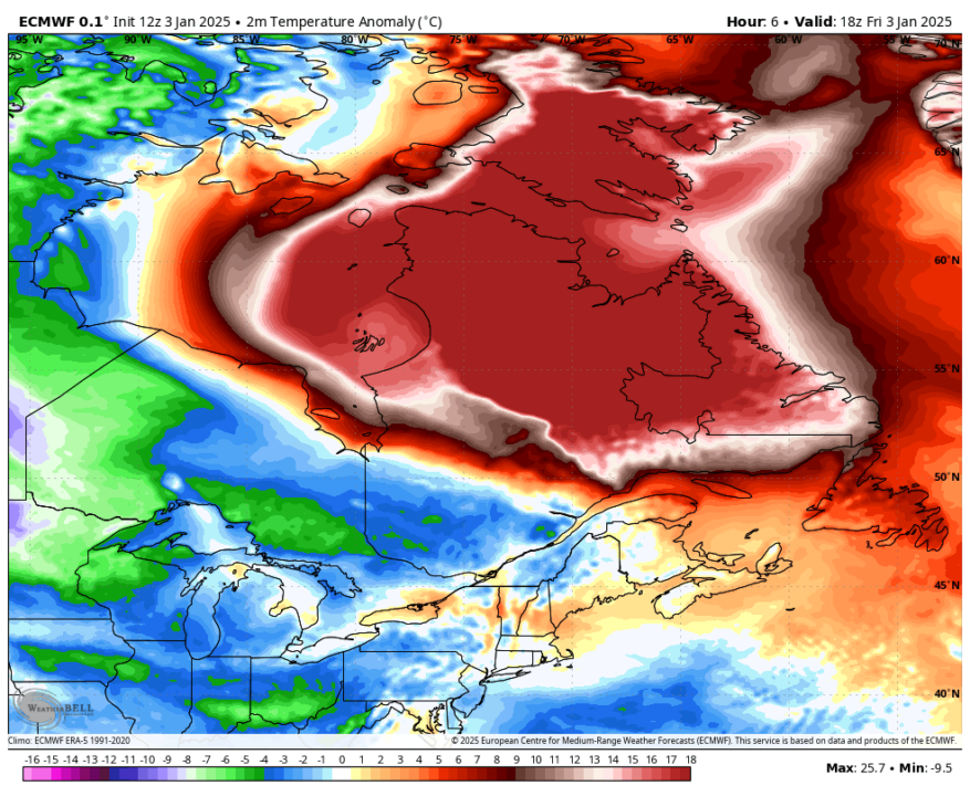
Temperatures in Labrador are running nearly 15° to 20° above normal today! The image below shows temperature anomalies, or how much above or below normal an area is.
Post 4 – 4:58 PM NST (4:28 PM AST)
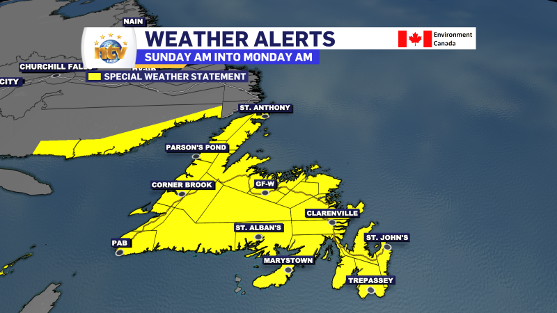
The Special Weather Statement in effect from late Saturday night into late Sunday and/or early Monday has been expanded and now includes the entire Island. Not all areas are under the same statement, as eastern areas will see slightly different weather than areas to the west. Get all the details here.
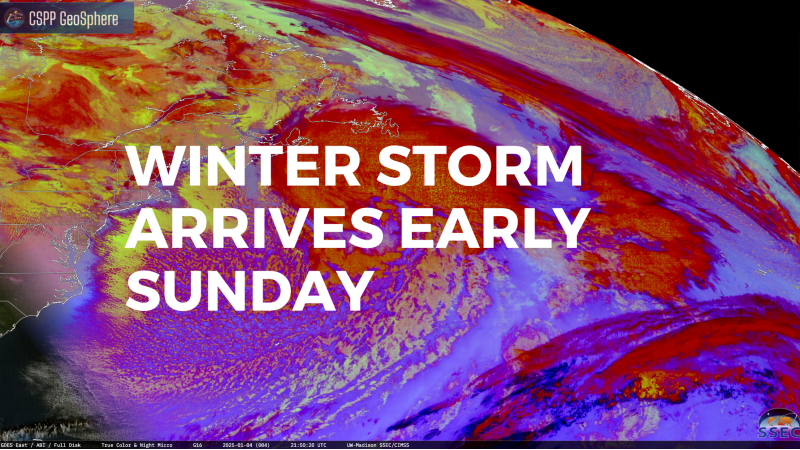
High winds, heavy rainfall, heavy snowfall and potential coastal flooding from storm surge and high waves are all in the cards from late Saturday night through Sunday or early Monday. The snowier side of the system will be toward the west coast and GNP, the ranier side will be to the east and central, and the South Coast will get a combo of both. All areas will be windy, but the windiest spots will be for coastal areas and the higher terrain.
Post 3 – 4:22 PM NST (3:52 PM AST)
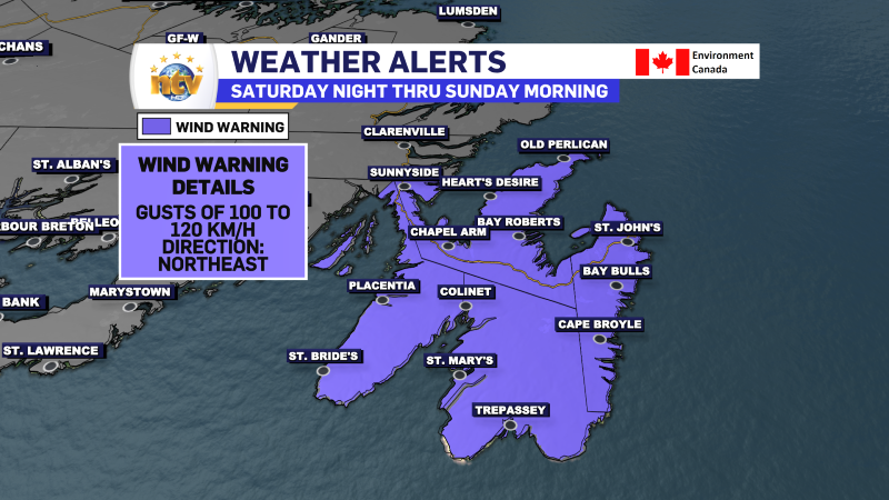
Environment and Climate Change Canada has issued a WIND WARNING for the Avalon Peninsula for late Saturday night into Sunday morning. The wind speeds will slacken after Sunday morning but may pick up again in the evening. I also expect additional Wind Warnings to the west, which will encompass much of coastal Newfoundland for Sunday.
Post 2 – 2:39 PM NST (1:09 PM AST)
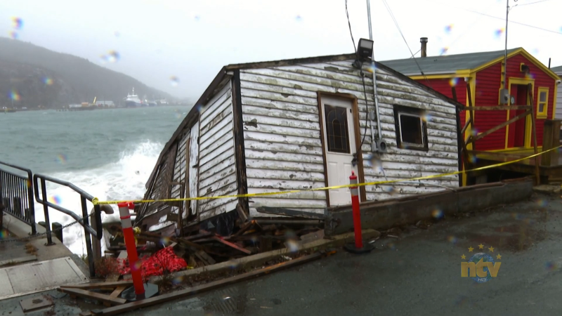
According to X user @YYT_Weather, yesterday was the wettest January 2nd on record in St. John’s. Records in multiple locations go as far back as 1874.
Post 1 – 12:23 PM NST (12:03 PM AST)
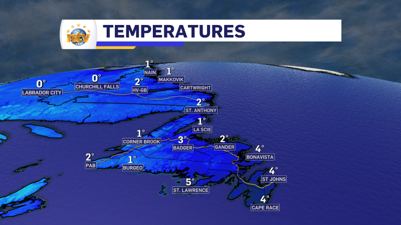
We are looking at a decent day across much of the Island and improving weather acros the bulk of the Big Land. Temperatures are running well above normal for most areas, and it’s more like spring than early January out there!
