



3 years ago
The weekend forecast; it gets better… slowly
Last updated: Sunday morning at 7:25 AM NST
Read more
3 years ago
Friday’s morning update; same old song and dance
The area of low pressure that has been the bain of our existence through much of this week is still badgering the Island with onshore flow, high wind speeds, and areas of rain and wet snow. The image below shows us where the low is currently located, concerning the Province. Weather Forecast Maps The low […]
Read more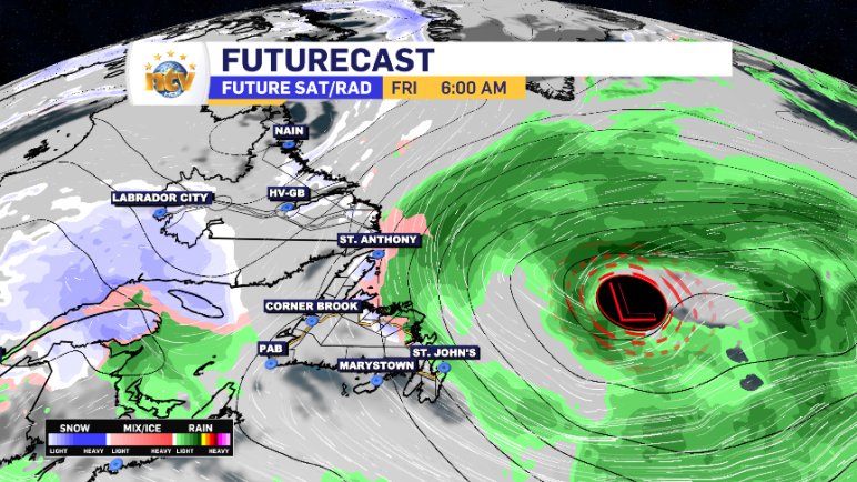
3 years ago
Thursday evening update; more rain and snow on the way
The weather remains on the unsettled side of things across the Island through early Sunday. We will get a bit of a break early next week before the next low-pressure centre develops to our southeast. There are questions in the near term and questions in the long-term forecasts. I broke them down in tonight’s Evening […]
Read more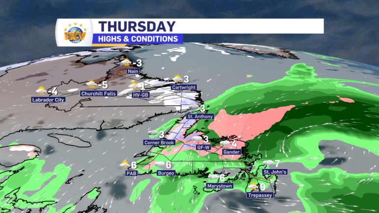
3 years ago
Thursday will see the rain and snow persist on the Island, while it ends in Labrador
The area of low pressure driving the rain and snow across the Province will be moved eastward overnight and is in the process of ending the snow in Labrador. However, on the Island, the rain and high-elevation snow (west) is going to continue on and off through the day. However, it will become more widespread […]
Read more