




3 years ago
Rain (and snow) continues on the Island, while snow ends in Labrador on Thursday
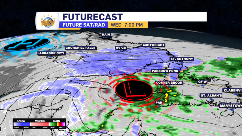
The area of low pressure driving the rain and snow across the Province will track eastward overnight and will pull the snow out of Labrador by early Thursday. However, the low is going to hang around east of the Avalon through early Friday. This will keep the rain, and even some wet snow, on the […]
Read more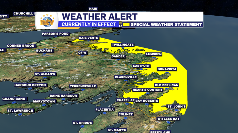
3 years ago
High tidal levels expected Thursday evening on north facing shorelines of the Island
An area of low pressure spinning east of the Island on Thursday will generate large swells and breaking waves, and possible storm surge along and near north-facing shorelines Thursday afternoon and evening. The Environment and Climate Change Canada Weather Office in Gander has issued a Special Weather Statement for the following areas: Current details: Higher […]
Read more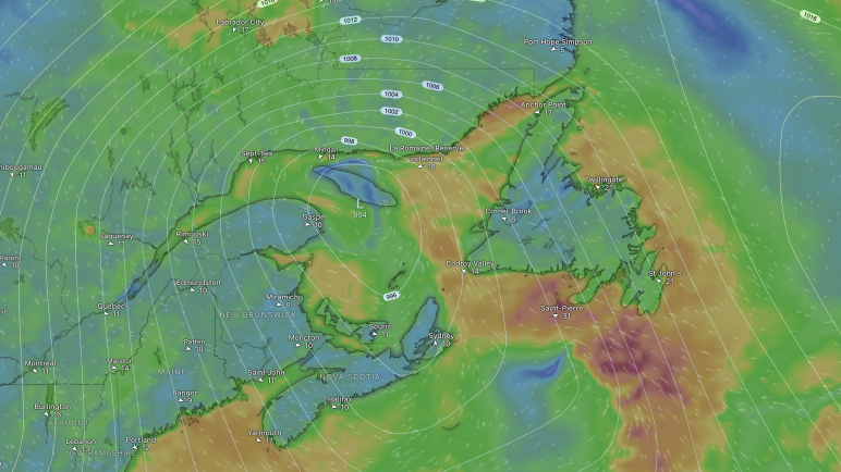
3 years ago
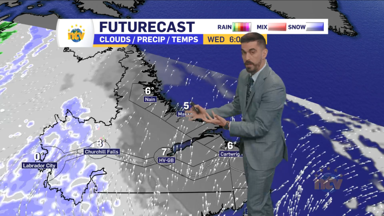
Rain and snow continue across the Province on Wednesday
Wednesday morning starts on the rainy side for much of the Island, except on the Northern Peninsula and the Baie Verte Peninsula, where snow is reported via observation, like at St. Anthony’s Airport, or via road conditions. The road conditions on the Baie Verte Peninsula are being reported as ‘partly covered’ which I take to […]
Read more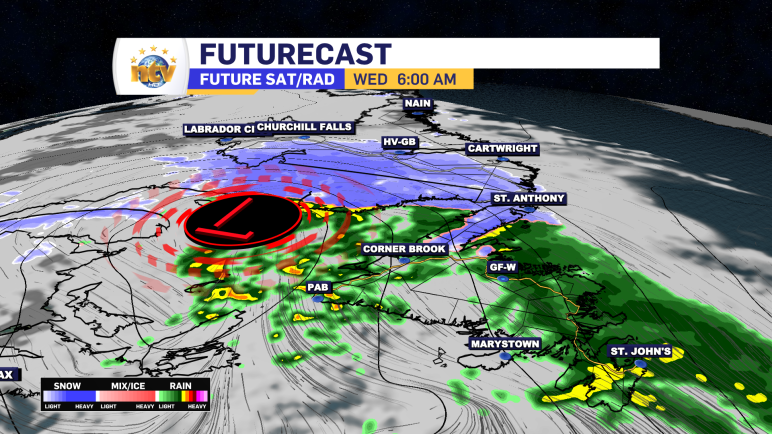
3 years ago
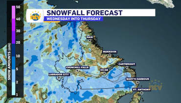
The unsettled, damp (and snowy for some) weather returns for mid-week
An area of low pressure moving in will drive rain across much of the Island from later Tuesday night through Wednesday and Thursday. While the Northern Penisula and southeast Labrador will contend with significant snowfall. I break down the forecast in tonight’s NTV Evening News Hour.
Read more