




3 years ago
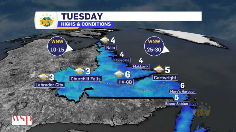
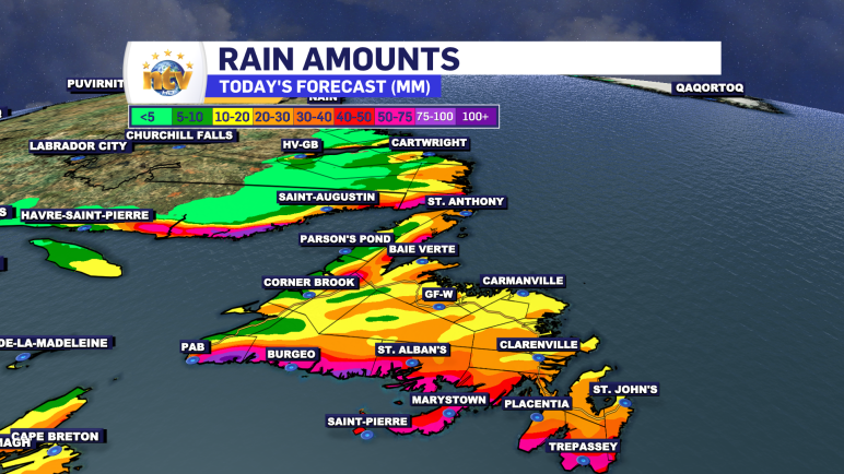
A Rainy and windy Tuesday is on tap for the Island, while snow and rain fall over the Big Land
An area of low pressure is going to track through the region today and this is going to bring rain, snow, and wind with it as it does so. Over the Island, we can expect primarily rain to fall, with any mix of rain and snow over western and northwestern Newfoundland changing to rain this […]
Read more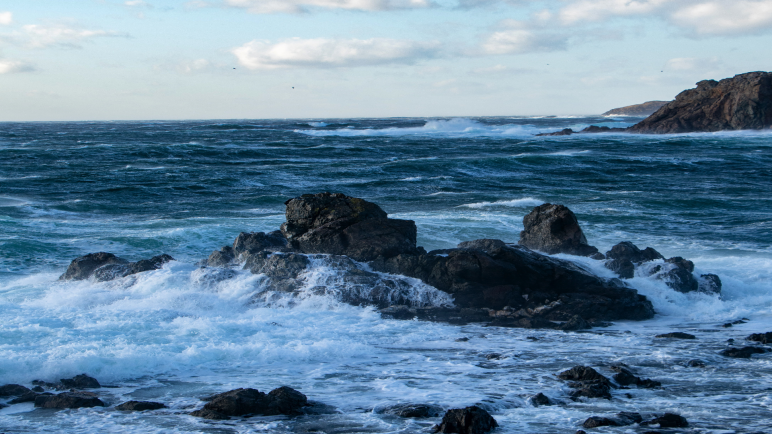
3 years ago
Wind, Storm Surge Warnings are in effect ahead of incoming low pressure centre
A strong area of low pressure will move across the region Tuesday and will bring a period of high winds and waves through the course of the day. For eastern and northeastern Newfoundland the highest wind speeds will occur Tuesday afternoon and peak in the 80 to 100 km/h range from the southeast. Wind speeds […]
Read more
3 years ago
Special Weather Statements issued for the weekend
The Environment and Climate Change Canada Weather Office in Gander has issued two Special Weather Statements for the upcoming weekend. A strong area of low pressure is forecast to move through the Province. This is going to bring heavy rainfall to much of Newfoundland and parts of Labrador, heavy snowfall to northern and central Labrador, […]
Read more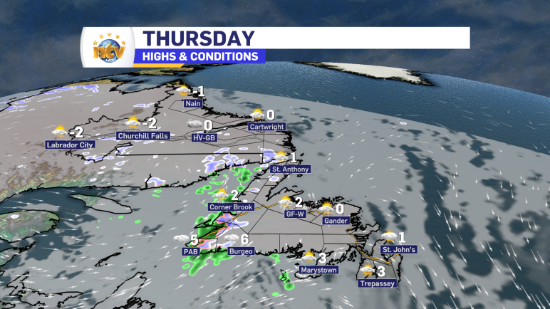
3 years ago
Some flurries and showers for Thursday
Thursday will see some flurries and showers working across the Island from west to east. They will arrive late morning to early afternoon on the west and southwest coast, mid-afternoon through central and down to the south coast and Burin Peninsula, and not until evening on the Avalon. Very little snowfall is expected, but some […]
Read more