




3 years ago
Wednesday starts chilly… perhaps a bit more sun for many?
The day is certainly starting off on the chilly side and while we will recover some this afternoon, it’s by no means going to be a warm day. Here are temperatures as of 6:52 AM NST. Wind chills for a lot of us are close to -10. Weather-wise today, we are looking at generally the […]
Read more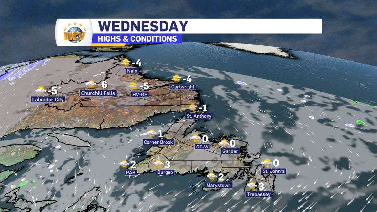
3 years ago
Mid-week remains quiet across the Province
An area of high pressure well southeast of the Province will keep any major weathermakers at bay throughout the middle part of this week. Other than scattered flurries overnight and Wednesday, there’s not much going on for the next 24 hours. Beyond that, we will see some flurries and areas of light snow into Labrador […]
Read more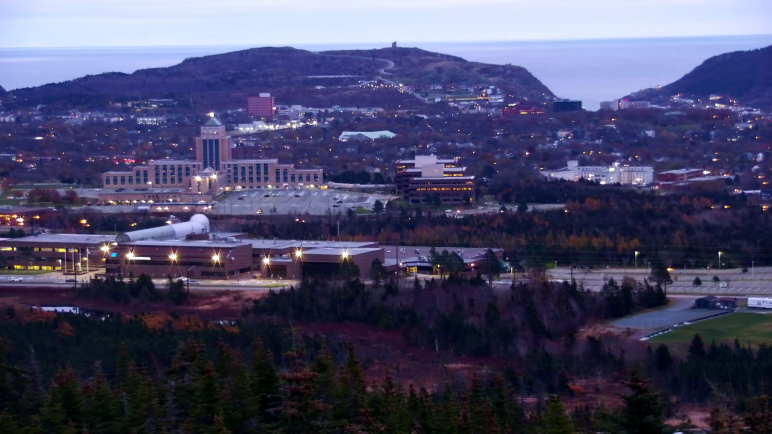
3 years ago
Tuesday morning’s update; chilly and mostly dry today
The weather across much of the Province will be chilly and calm this week. In fact, it looks like readings through Thursday or Friday are going to be running below normal by a few degrees on the Island and a touch above in Labrador. However, even with that, temperatures will still be topping out below […]
Read more
3 years ago
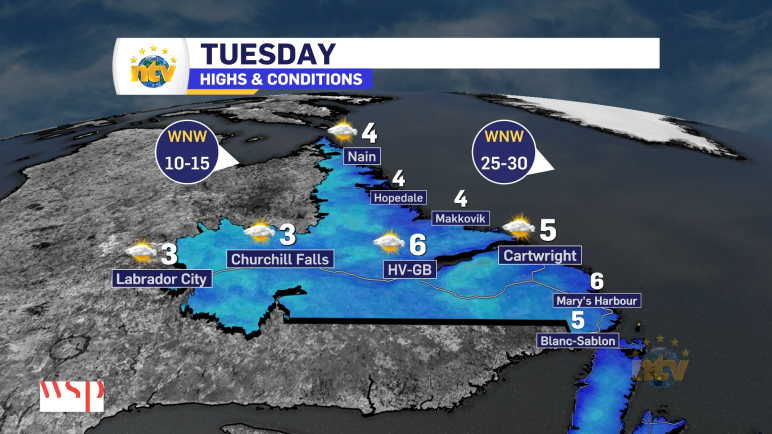
Eddie’s forecast: A quiet week ahead
The weather across much of the Province will be chilly and calm this week. In fact, it looks like readings through Thursday or Friday are going to be running below normal by a few degrees on the Island and a touch above in Labrador. However, even with that, temperatures will still be topping out below […]
Read more