


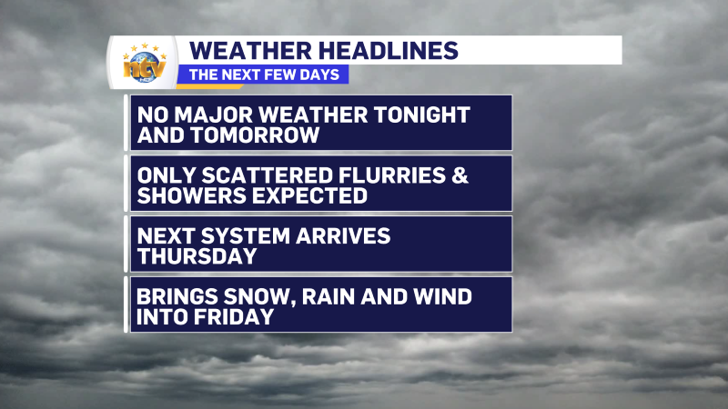
What to Expect
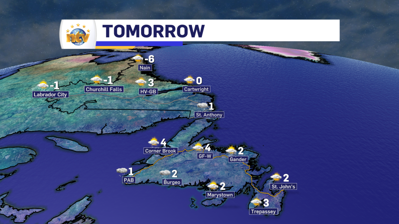
The weather across the Province will generally be calmer for the next 24+ hours. That being said, we will be dealing with some scattered flurries and pockets of light snow over parts of western and central Newfoundland tonight into early Wednesday. Overall, though, Wednesday will be a calm day with no major weather on the horizon.
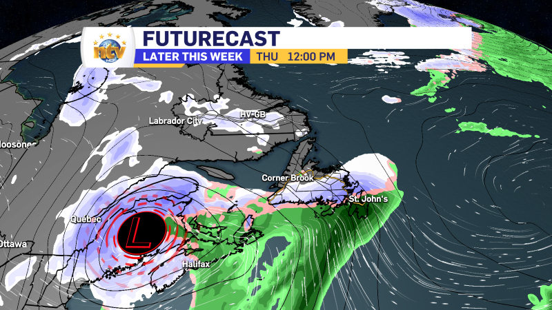
The next weather maker arrives Thursday, and this will bring rain, snow, and wind to the Province between Thursday and Friday. On the Island, snow will move in late Thursday morning and fall for a few hours before changing to rain. Some areas will see a little bit of accumulation before the change to rain. As of now it’s still a bit early to say what area will see the heaviest snowfall, but amounts will generally be less than 10 cm before the rain comes in. Labrador will see more substantial snowfall from this low from later Thursday into Friday. Snowfall on the North Coast will be significant in the time frame. The snow and rain will end late Thursday on the Island and later Friday in the Big Land.


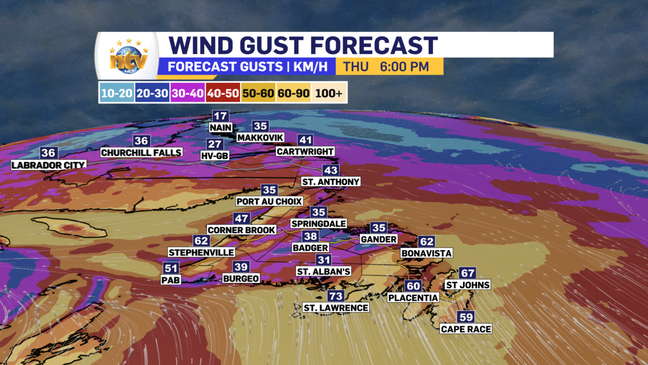
Wind speeds will ramp up on Thursday as the low moves in. Many areas of the Island will see gusts in the 60 to 80 km/h range; however, winds will gust over 100 km/h in the Wreckhouse area for a time on Thursday. Wind speeds will ramp down somewhat Thursday night but Friday does look breezy. And speaking of Friday, there will be some onshore flurries and snow squalls on the West Coast.
Coastal Labrador, especially the North Coast, will see heavy snowfall and gusty wind speeds on Friday. This will make for some locally stormy conditions. Weather will improve in the area Friday night or early Saturday.
-

Threat of wildfires on west coast higher this year, say forestry officials
As residents of the province prepare to head out into the woods for the Victoria…
-

Labrador West MHA wants water bomber back
With wildfires threatening Fort McMurray, Alta., again, Labrador West MHA Jordan Brown wants a water…
-

Province warns residents to be ready for forest fire season as wildfires threaten Fort McMurray
Evacuation orders and alerts remain in effect for Fort McMurray, Alta., as wildfires continue to…
