Weather Forecast: Sunday, June 28
Warm temperatures will continue across much of Newfoundland and Labrador today, though afternoon showers and the risk of thunderstorms will develop in parts of central and eastern Newfoundland. Here’s your weather forecast.
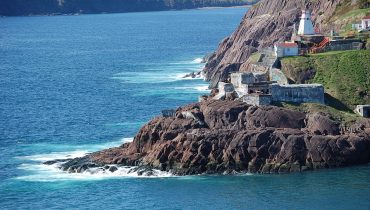
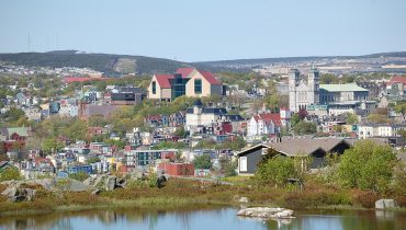
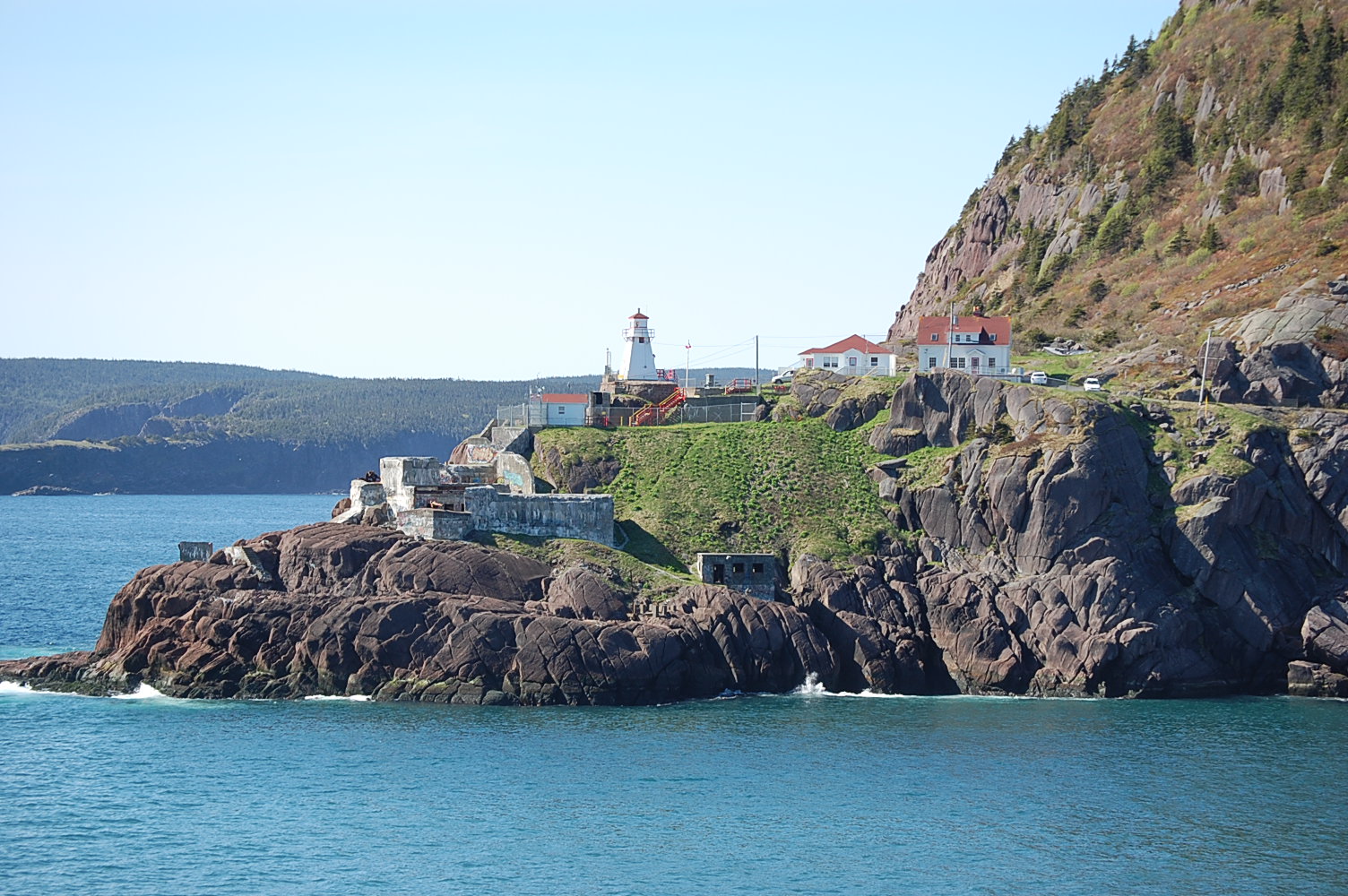
St. John’s / Bonavista
Today
Sunny skies this morning give way to a mix of sun and cloud this afternoon. There is a 40 per cent chance of showers later today, with morning fog patches dissipating. High 21 in St. John’s and 23 in Bonavista, though coastal communities remain cooler at 12 and 17 respectively. Bonavista will see a humidex of 25. UV index 7 or high.
Tonight
Partly cloudy skies become cloudier through the evening. Fog patches develop near midnight. Low 9 in St. John’s and 12 in Bonavista, though low-lying areas around Bonavista may fall to 8.
Mon, June 29
A mix of sun and cloud after morning fog dissipates. St. John’s becomes partly sunny during the afternoon after a cloudy start, while Bonavista has a 40 per cent chance of showers late in the afternoon. High 17 in St. John’s and 21 in Bonavista, with cooler temperatures along the coast. UV index 5 to 7, moderate to high.
South Coast
Today
Mainly cloudy with a 60 per cent chance of morning drizzle. Fog retreats to the coast through the morning. High 12 in Channel–Port aux Basques, reaching 18 north of Cape Ray. UV index 6 or high.
Tonight
Mainly cloudy with a 60 per cent chance of drizzle. Fog spreads inland overnight. Low 10.
Mon, June 29
Cloudy with a 60 per cent chance of drizzle early before becoming a mix of sun and cloud as fog retreats to the coast. High 14. UV index 7 or high.
Central
Today
Sunny this morning becomes a mix of sun and cloud this afternoon, with a 60 per cent chance of showers late in the day and a risk of thunderstorms. Morning fog patches dissipate. High 24 with a humidex of 26. UV index 7 or high.
Tonight
Partly cloudy with a 60 per cent chance of showers this evening and a risk of thunderstorms early this evening. Fog patches develop near midnight. Low 12, though some low-lying areas may drop to 8.
Mon, June 29
A mix of sun and cloud with a 60 per cent chance of showers late in the afternoon. Morning fog dissipates. High 24 with a humidex of 25. UV index 7 or high.
West Coast
Today
Cloudy with a 60 per cent chance of drizzle early this morning before becoming a mix of sun and cloud. Fog patches dissipate through the morning. High 21 in Corner Brook, though coastal areas remain closer to 15. UV index 7 or high.
Tonight
Cloud increases this evening with a 60 per cent chance of drizzle overnight. Fog patches develop near midnight. Low 10.
Mon, June 29
Cloudy with a 60 per cent chance of drizzle early before skies become a mix of sun and cloud as morning fog clears. High 18, though coastal communities remain near 13. UV index 7 or high.
Northern Peninsula
Today
Cloudy skies and a 60 per cent chance of drizzle early this morning give way to clearing conditions. Morning fog patches dissipate. Southwest winds reach 20 km/h, gusting to 40. High 19. UV index 6 or high.
Tonight
Clear skies become partly cloudy near midnight as fog patches develop. Low 9.
Mon, June 29
A mix of sun and cloud after morning fog dissipates. West winds continue at 20 km/h, gusting to 40. High 18. UV index 6 or high.
Happy Valley–Goose Bay
Today
Sunny this morning becomes a mix of sun and cloud with a 60 per cent chance of showers this afternoon. High 26. UV index 6 or high.
Tonight
Partly cloudy with a 60 per cent chance of showers this evening before clearing overnight. Low 12.
Mon, June 29
A mix of sun and cloud with a 40 per cent chance of showers. High 25. UV index 6 or high.
Related Articles