


The area of low pressure that drove the weather across eastern Newfoundland yesterday has departed into the North Atlantic. Behind it, we still see some flurries and light snow in the east and northeast, but that will generally end within the next few hours. Generally, many areas of eastern Newfoundland have seen anywhere from 5 to 15 cm of snow since Monday afternoon. As of early this morning, the international airport in St. John’s is reporting 12 cm since Monday afternoon.

Today we will see quieter weather across much of the Province. However, there will be widespread flurries and pockets of light snow over much of the Island. The most intense activity will be on the West Coast and potentially in the Bay St. George area. A Snow Squall Watch is currently in effect for Bay St. George today. I suspect this may expand north and south later today to encompass more of the West Coast.

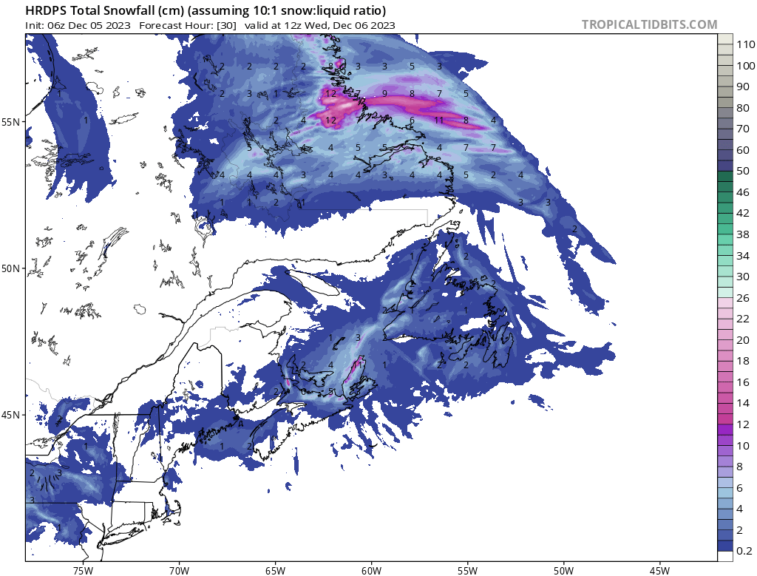
There will also be an area of snow that pushes onto the North Coast of Labrador today, later this afternoon, and the snow will be locally heavy as this moves onshore. Snowfall accumulation by late Tuesday night or early Wednesday morning will total more than 15 cm in some areas around Voisey’s Bay, Nain and farther north into the Torngats.
Temperatures today will be near freezing on the Island and in northern Labrador to well below freezing farther down the coast of Labrador and into western regions.
The rest of this week generally remains quiet on the Island, outside of flurries and localized snow squalls. Another significant snowfall will move to the Labrador Coast on Thursday evening. Widespread, heavy snowfall appears likely, and I expect weather alerts to be issued before this.

-

Hot and humid start to the weekend
The Island will see sunny skies to start today. There are a few fog patches…


