Good Monday morning! The weather across the Province is breezy, chilly, and significantly drier than most of our Sunday. We can thank that to a cold front that cleared the east coast early Monday morning. We can see that visualized very nicely in the image below.

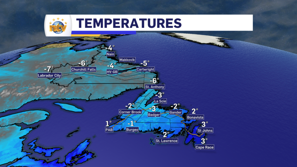
We are looking at temperatures in the single digits above and below freezing to start the day. The coolest readings are in southeast Labrador and the warmest are in southern Newfoundland.
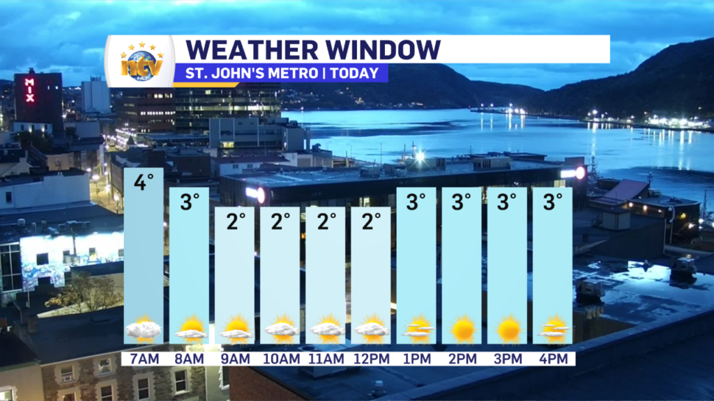
However behind the cold front, in eastern Newfoundland, temperatures will fall through the morning and end up near 1 or 2 and generally hold there throughout the day. The timeline for that is shown nicely in the image below.
Meanwhile, across the rest of the Province, we can expect a mix of sun and cloud today, with a few flurries over western sections of the Island, the GNP, and throughout much of Labrador. I don’t expect any significant snow accumulation today based on the day’s synoptic-scale setup.
Tuesday will start quiet and cold across the Province but our next weather maker will begin swirling in late. This will initially spread light snow in Labrador West Tuesday afternoon, while the rest of N.L. has a dry Tuesday. Tuesday night will see snow spread into southeast Labrador where it will intensify as we move into Wednesday. Much of the Island will see rain Wednesday, however, some areas of western and the GNP will see snow or rain and wet snow mix.
The snow in some areas of Labrador and parts of the Island will be significant by the time this low departs late Thursday or early Friday. Yes, it’s another slow mover. I’ll have an update on this for you later today.
Have a great Monday!
Eddie
-
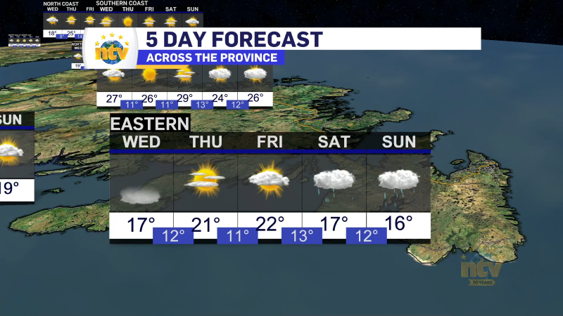
Morning showers expected for Newfoundland
The weather today will largely be a carbon copy of Monday. Most areas will see…