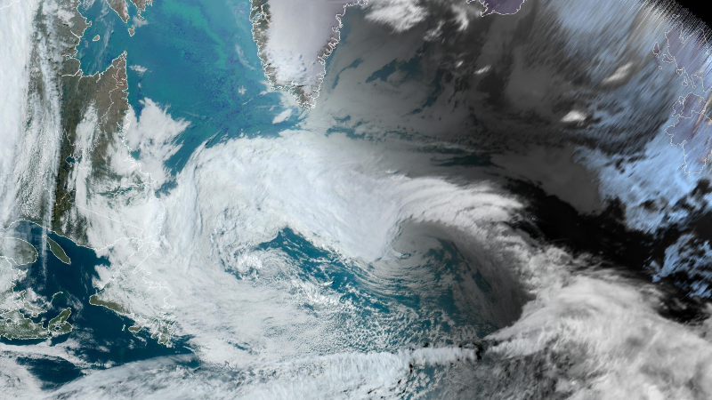

The nearly stationary low-pressure center that has driven northerly winds over much of the Province for the last few days will stick around just a little longer. This means that the weather you’ve seen over the last few days is the weather you can expect to see over the next few days. The weather pattern looks to change by the weekend when an area of high pressure will take over. While that is a change in the pattern regime, its location will keep winds onshore for much of central and eastern Newfoundland.
Newfoundland’s Forecast
Tuesday
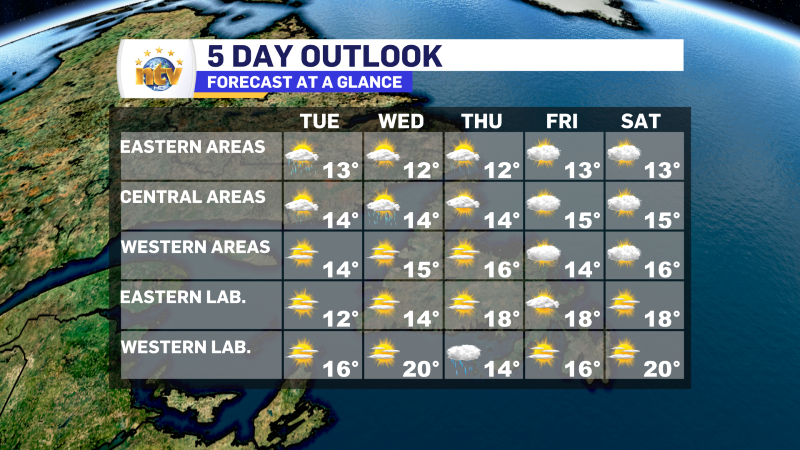
- Scattered showers for eastern, central and Northern Peninsula in onshore northerly winds. Expect partly to mostly cloudy skies when the showers aren’t passing through. Southern locations and the West Coast will see partly cloudy to mostly sunny skies.
- Highs of 13 to 16
Wednesday
- Scattered showers for eastern, central and Northern Peninsula in onshore northerly winds. Expect partly to mostly cloudy skies when the showers aren’t passing through. Southern locations and the West Coast will see partly cloudy to mostly sunny skies.
- Highs of 14 to 16
Thursday
- Scattered showers over eastern under partly to mostly cloudy skies. Central and western will see mostly sunny skies.
- Highs of 13 to 16
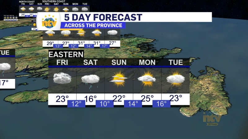
Friday
- Mostly cloudy with highs of 13 to 16
Saturday
- Mostly cloudy with highs of 13 to 16
Labrador’s Forecast
Tuesday
- Mostly sunny with highs of 12 to 17.
- It will be coolest along the coast and warmest in the west
Wednesday
- Mostly sunny with highs of 14 to 20.
- It will be coolest on the coast and warmest in the west.
Thursday
- Mostly sunny on the coast with high temperatures in the middle to upper teens
- A dry start in the west, with rain arriving in the afternoon
Friday
- Mostly sunny with highs of 16 to 18
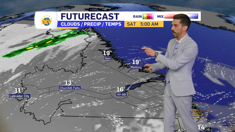
Saturday
- Mostly sunny with highs near 19.
