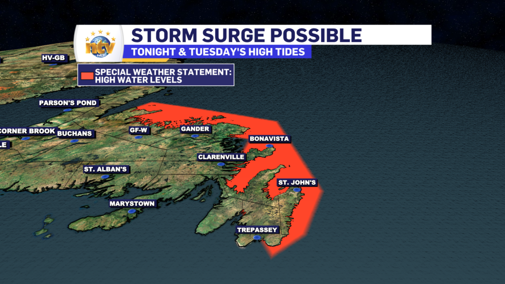
The ECCC NL Weather Office in Gander has issued a Special Weather Statement for the potential of storm surge and minor coastal flooding with Tuesday morning’s high tides for the following areas:
- The Avalon Peninsula North
- St. John’s & vicinity
- Bay of Exploits
- Bonavista North
- Bonavista Peninsula
- Green Bay – White Bay
Current details: Large waves, pounding surf and elevated sea water levels are expected, possibly exceeding high astronomical tide.
Locations: portions of the Avalon Peninsula and northeastern Newfoundland from Cape Race to Cape St. John.
Time span: Tuesday morning.
High tide: 7 A.M. to 10 A.M. Tuesday
Remarks: Storm surge and minor coastal flooding is possible along shorelines exposed to the north, especially near high tides. Water levels will begin to subside Tuesday afternoon.

-

Police conduct speeding blitz ahead of Victoria Day long weekend
Police conducted a speeding blitz this afternoon on the Trans Canada Highway. As NTV’s Beth…
-

Terra Nova MHA calls on province to repair grave damaged by snowplow
One blustery night in February, a provincial snowplow went off the road, and crashed into…
-
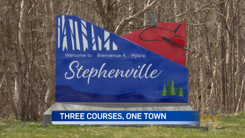
Stephenville on its way to becoming disk golf capital of Canada
You may know a thing or two about golf, but what about disc golf? It’s…