THIS ALERT HAS BEEN ENDED
A wintry mix of snow, ice pellets, and freezing rain is expected Friday evening into Saturday morning in the following locations
- The Burin Peninsula
- The Avalon Peninsula (including St. John’s Metro)
Expected snow and ice pellet accumulations range from 5 to 10 cm, with locally higher amounts possible.
Precipitation will commence as snow and ice pellets Friday evening, transitioning later to a period of freezing rain over certain areas. The weather will then taper to a mixture of rain showers and flurries.
Notably, the snow and ice pellets may accumulate rapidly for a couple of hours in some locations before the anticipated changeover.
Consequently, surfaces such as roadways, walkways, and parking lots may become slippery and challenging to navigate. For those planning to travel during this period, allocating extra time to reach your destination is advisable.
-
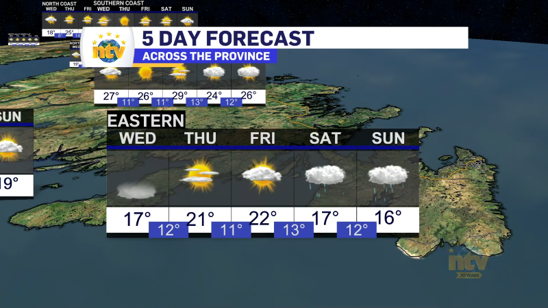
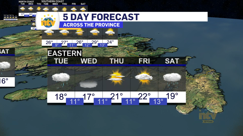
Morning showers expected for Newfoundland
The weather today will largely be a carbon copy of Monday. Most areas will see…