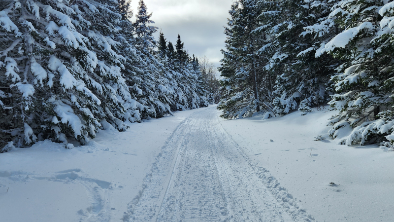
Image above was taken by Rick Lane in the Grand Falls-Windsor area this weekend
Sunday’s storm put the exclamation mark on the end of a very snowy week across much of the Island and portions of coastal Labrador. The Avalon and Bonavista Peninsulas picked up another 20-30 cm of (lighter) snow between late Saturday night and early Sunday morning. The snow depth at St. John’s International Airport was measured at 63 cm yesterday evening, the deepest in about 4 years.
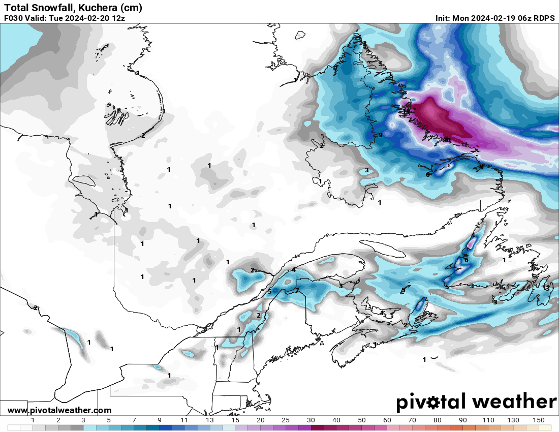
As we start the new week, we will see yet another low-pressure center cross the Avalon Peninsula. Fortunately, this will be a rather weak system and will only drive some light snowfall from late this morning into the early afternoon. Over the Burin, Bonavista, and Avalon Peninsulas, I’d expect 2-5 cm in the time frame. Enough to clean up, but not enough to really impact everyday life that much.
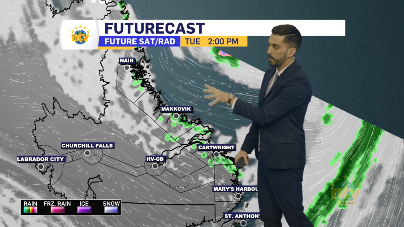
There will also be a periods of light snowfall over western Newfoundland this afternoon, from near Rocky Harbour, points south, that will also result in a little bit of new snow. On top of that, much of coastal Labrador will see will see some light snow and flurries throughout the day. None of these events will drive particularly significant snowfall, but here is a map of what to expect by the end of the day (Island) and early Tuesday (Labrador).
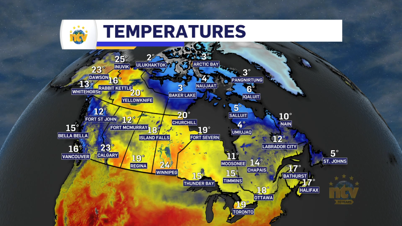
Teperatuers-wise, today, we are in for a bit of a cool one, with highs in the single digits below freezing on the Island and minus teens in Labrador. Outside of the areas of the areas of snow, there should be a mix of partly cloudy skies across much of the Province.
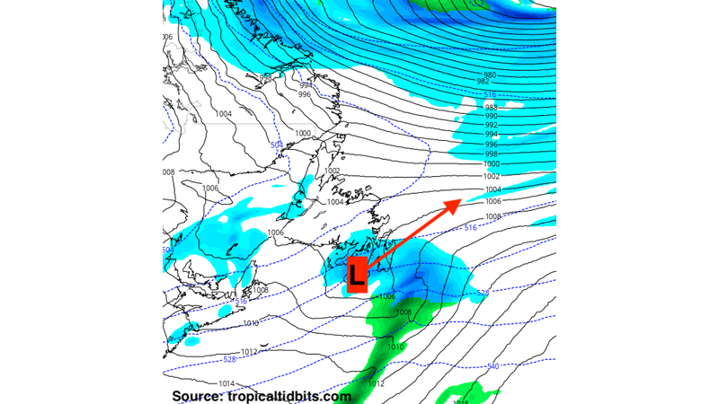
Beyond today the weather is pretty quiet until Thursday. Our next system rolls in then, and this looks to be a messy one that will bring a combination of snow, freezing rain, ice pellets, and rain to the Island into early Friday. There is still much uncertainty with this, so please stay tuned for the latest updates, and don’t trust the snowfall amounts in your apps just yet.
More updates to come.
-
NTV Weather Update | June 16, 2025
Good Monday evening! The weather across the Island will be very nice once again on…