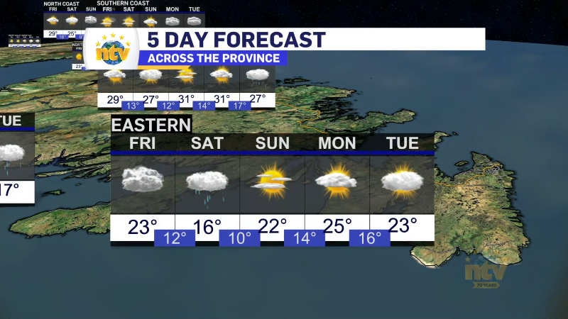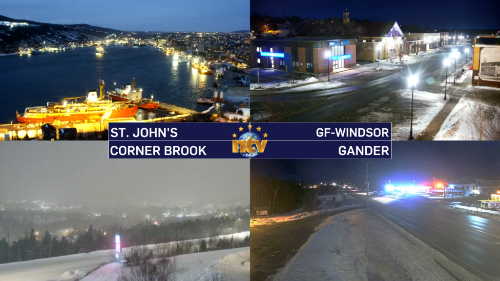
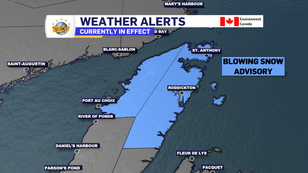
A cold front will cross the Island today from west to east. Ahead of that front, we are going to see an area of snow move across Newfoundland. The snow will not be overly intense, but in the way of light to moderate. It will arrive on the West Coast this morning and spread east throughout the day, arriving in eastern areas later this morning or early in the afternoon. We are also looking at some breezy to locally windy conditions, which will mean areas of blowing and drifting snow over exposed areas. This will be particularly true on the Northern Peninsula, which is under a Blowing Snow Advisory this morning.
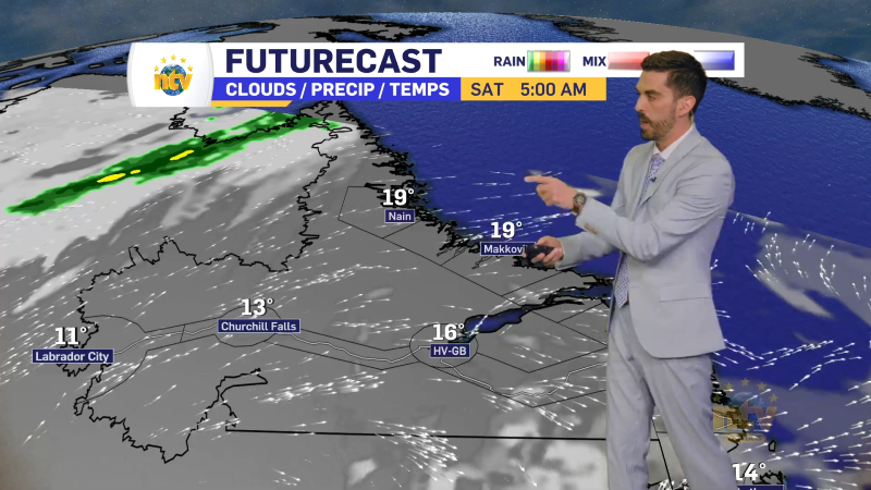
The snow is along a cold front, behind which there is another shot of Arctic air. That air is in the process of moving back into Labrador and will spread across the Island later today and tonight. This punch of polar air will not be as intense as the last, but readings tonight will be quite cold across much of N.L.
Future Radar (below) does a good job of showing the timing of the snow and the movement of our temperatures today.

Snowfall amounts today will not be significant, but some areas will see as much as 5 cm. There is a chance some spots on the southeast Avalon see more than 5 cm as the front may interact with an area of low pressure passing to our south. That may enhance the snow for a time this evening. I’ll be watching the radar closely. Areas of western Newfoundland in the higher terrain will see as much as 15 cm.
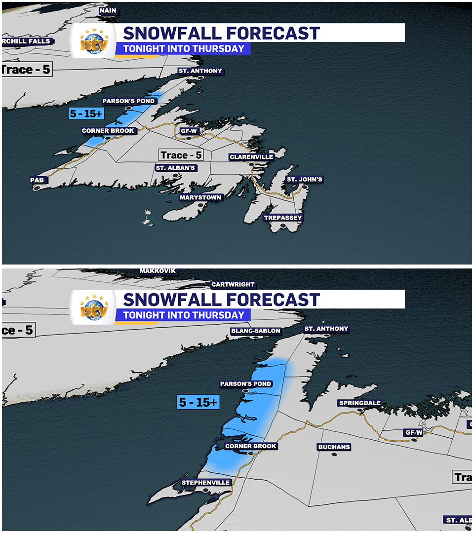
The next weather update will be issued this afternoon. Have a great day!
Eddie


