Your Friday morning is starting off to a rainy for some areas of southern and eastern Newfoundland. Radar shows we are seeing one area of rain along the South Coast, east of La Poile to almost the Cape St. Mary’s on the Avalon, and another smaller area of showers along the northeast coast, about to move over Bonavista Bay and likely over the Bonavista Peninsula. The loop below shows this a bit better.

The rain is going to be with us for several hours over the eastern and southern sections of the Island this morning. However, you can see the bad edge on the radar approaching Burgeo at this hour. That should be the end of it, so even over the eastern-most areas, like St. John’s and the Southern Shore, will see the rain end by early afternoon. Future radar times that out quite well. The video is below.

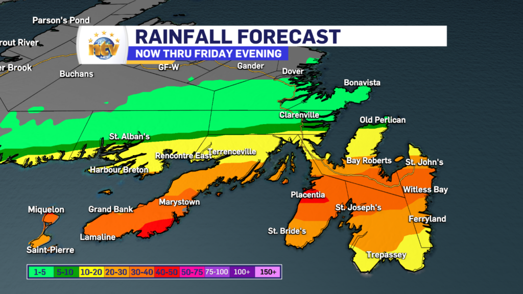
Rainfall amounts do not look overly significant today, but areas of the Burin and Avalon Peninsulas, particularly on the southern parts of both, will see some higher totals than your northern counterparts. The highest amounts will likely be in the 30-40+ mm range, while areas north will see 10 mm or less.

So now that we have the rain out of the way, we can talk about the rest of N.L., and the weather that can be expected… which is generally calmer than the last couple of days and not quite as warm. Partly cloudy to mostly sunny skies will also be the rule. Even eastern areas seeing the rain this morning should see some sunshine later today. A few showers will pop up over Labrador West this afternoon.
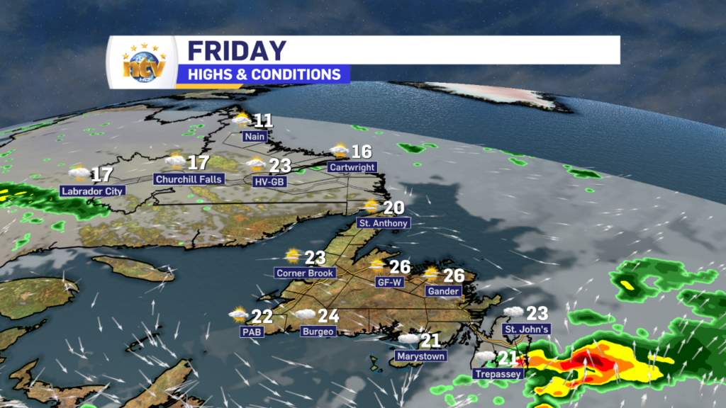
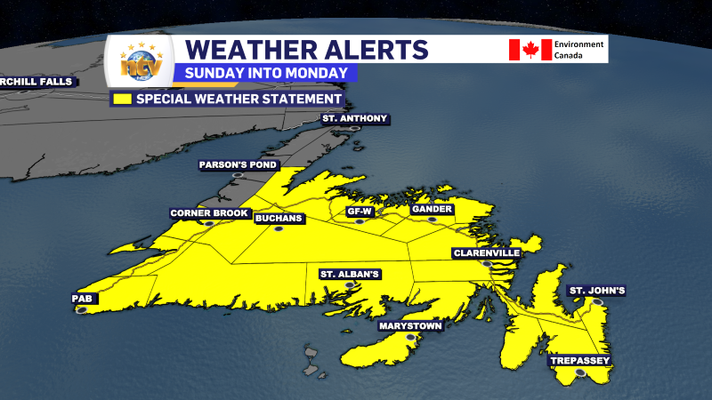
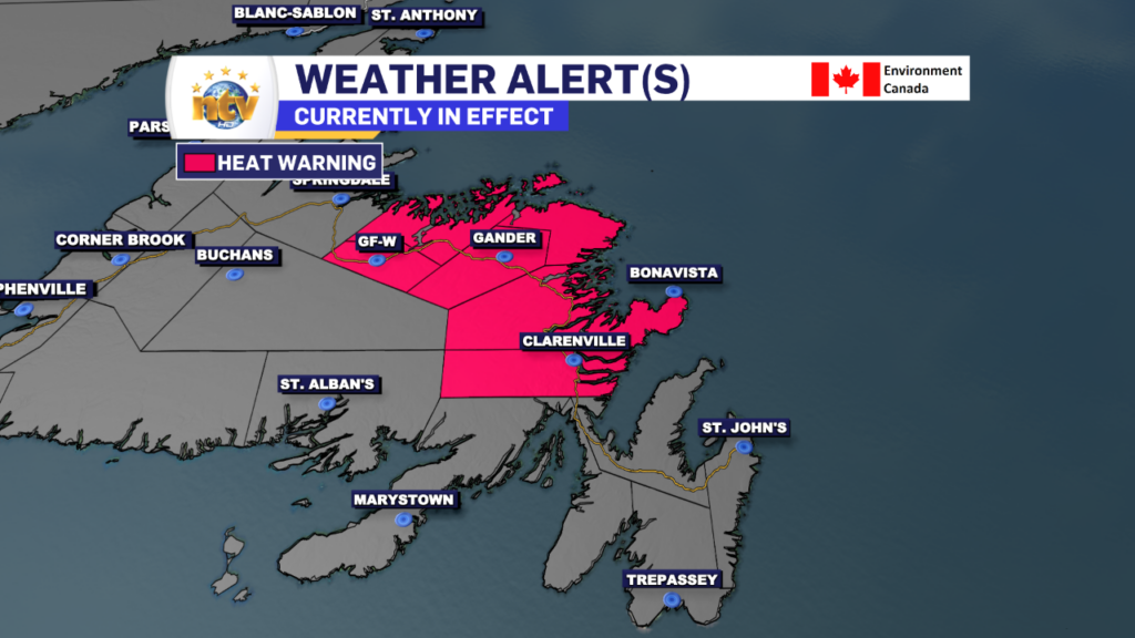
A Heat Warning is still in effect for parts of Central and Northeastern Newfoundland through this evening. Temperatures there will peak in the middle to upper 20s, with humidex into the middle 30s. The Heat Warning will be ended this evening.
The weekend is looking cooler, across the board, with increased rain chances across much of the Province as we get into a more active weather pattern. I’ll have a more thorough update on this later today.


