Second winter storm this week batters eastern Newfoundland; snow and high winds to continue Sunday

An estimated 30 centimetres of snow has already fallen in the St. John’s metro region as a winter storm continues to affect eastern Newfoundland.
The snow began late Saturday and intensified overnight, bringing heavy snowfall and blowing snow to the region Sunday morning. High winds have reduced visibility and created hazardous travel conditions.
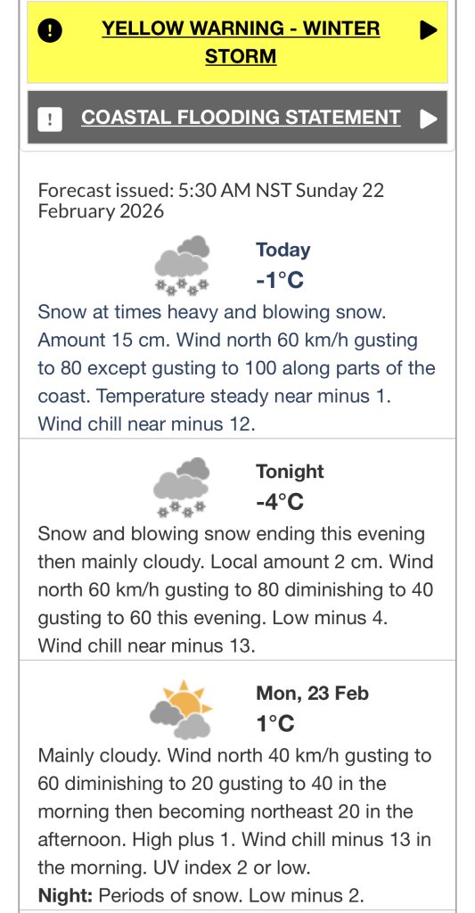
Environment Canada has issued a winter storm warning and a coastal flooding statement for parts of eastern Newfoundland.
Eastern Newfoundland
Snow, at times heavy, and blowing snow are expected to continue through the morning, with an additional 15 centimetres possible before tapering off this evening. Winds from the north are forecast at 60 km/h, gusting to 80, and up to 100 along some coastal areas. The temperature is expected to remain near -1 C, with wind chill near -12.
Snow and blowing snow are expected to end this evening, followed by mainly cloudy skies. About 2 centimetres of additional snow is possible before conditions improve. The low tonight is forecast at -4 C, with wind chill near -13.
Monday is expected to be mainly cloudy with a high of 1 C. Periods of snow are forecast Monday night, with a low of -2 C.
This is the second major snowfall this week. More than 50 centimetres fell in the metro area earlier in the week, with as much as 70 centimetres reported in Paradise.
Travel and Services
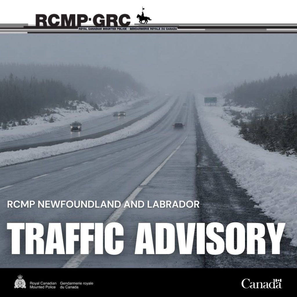
Flights at St. John’s International Airport have been cancelled, and Metrobus is not operating due to poor road conditions. Police are advising motorists to avoid travel unless necessary and to use caution if driving is essential.
Road conditions across the island are very poor as snow and high winds continue.