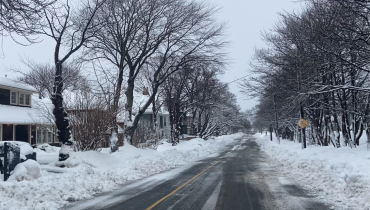
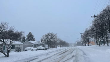
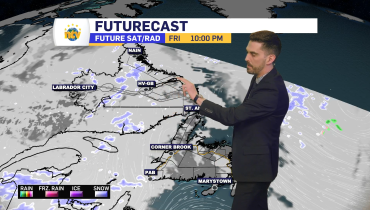
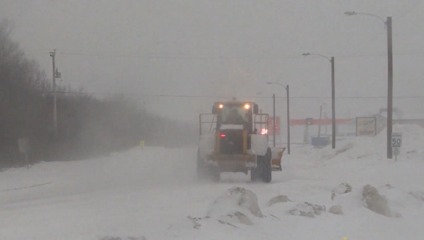
Heavy snowfall expected in the east; freezing drizzle overnight
ST. JOHN’S/BONAVISTA
Today: Cloudy. Snow at times heavy beginning this morning. Periods of ice pellets along the southern shore this afternoon. Blowing snow over exposed areas this afternoon. Amount 15 cm. Wind east 20 km/h gusting to 40 becoming northeast 30 gusting to 50 near noon. High minus 1. Wind chill near minus 10. UV index 1 or low.
Tonight: Snow changing to freezing drizzle or flurries this evening and ending before morning then cloudy. Blowing snow over exposed areas early this evening. Snowfall amount 2 cm. Wind northeast 30 km/h gusting to 50 becoming north 20 gusting to 40 overnight. Low minus 8. Wind chill minus 9 this evening and minus 15 overnight.
Thursday: Clearing in the morning. Wind north 20 km/h becoming light in the afternoon. High minus 2. Wind chill minus 15 in the morning and minus 6 in the afternoon. UV index 4 or moderate.
SOUTH COAST
Today: Snow at times heavy ending this afternoon then cloudy with 40 percent chance of flurries. Blowing snow over exposed areas. Amount 10 to 15 cm. Wind northeast 30 km/h gusting to 50. High minus 1. Wind chill minus 14 this morning and minus 8 this afternoon. UV index 2 or low.
Tonight: Cloudy. 40 percent chance of flurries this evening. Clearing before morning. Wind northeast 30 km/h gusting to 50. Low minus 9. Wind chill minus 9 this evening and minus 16 overnight.
Thursday: Mainly sunny. Wind northeast 20 km/h gusting to 40 becoming light in the morning. Wind becoming northwest 20 in the afternoon. High minus 1. Wind chill minus 17 in the morning and minus 7 in the afternoon. UV index 4 or moderate.
CENTRAL
Today: Snow. Amount 5 to 10 cm. Wind becoming northeast 20 km/h gusting to 40 this morning. High minus 5. Wind chill near minus 14. UV index 1 or low.
Tonight: Flurries ending after midnight then partly cloudy. Wind northeast 20 km/h becoming light overnight. Low minus 14. Wind chill minus 13 this evening and minus 18 overnight.
Thursday: A mix of sun and cloud. Wind becoming northwest 20 km/h in the morning. High minus 3. Wind chill minus 18 in the morning and minus 9 in the afternoon. UV index 4 or moderate.
WEST COAST
Today: Periods of snow. Amount 2 to 4 cm. Wind becoming northeast 20 km/h gusting to 40 this morning. High minus 4. Wind chill minus 15 this morning and minus 10 this afternoon. UV index 1 or low.
Tonight: A few flurries ending near midnight then clearing. Wind northeast 20 km/h becoming light overnight. Low minus 12. Wind chill near minus 14.
Thursday: Mainly sunny. Wind becoming northwest 20 km/h near noon. High minus 3. Wind chill minus 15 in the morning and minus 9 in the afternoon. UV index 4 or moderate.
NORTHERN PENINSULA
Today : A mix of sun and cloud. Wind up to 15 km/h. High minus 9. Wind chill minus 27 this morning and minus 13 this afternoon. UV index 3 or moderate.
Tonight: Partly cloudy. Clearing after midnight. Wind up to 15 km/h. Low minus 21 except minus 14 south of Hare Bay. Wind chill minus 12 this evening and minus 29 overnight. Risk of frostbite.
Thursday: Sunny. Wind becoming northwest 20 km/h in the morning then becoming west 20 gusting to 40 in the afternoon. High minus 7. Wind chill minus 30 in the morning and minus 17 in the afternoon. Risk of frostbite. UV index 3 or moderate.
HAPPY VALLEY/GOOSE BAY
Today: Sunny. Wind becoming west 20 km/h this afternoon. High minus 9. Wind chill minus 37 this morning and minus 17 this afternoon. Risk of frostbite. UV index 3 or moderate.
Tonight: Clear. Wind west 20 km/h becoming light this evening. Low minus 28. Wind chill minus 20 this evening and minus 36 overnight. Risk of frostbite.
Thursday: Sunny. Wind becoming west 20 km/h in the morning. High minus 7. Wind chill minus 37 in the morning and minus 14 in the afternoon. Risk of frostbite. UV index 3 or moderate.
Related Articles