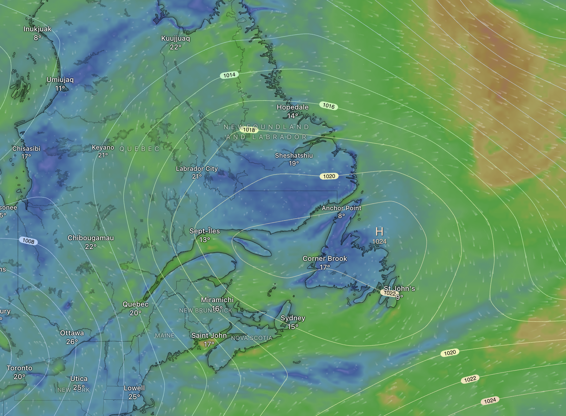
Monday will see an area of high pressure over the Gulf of St. Lawrence. The position of this high, and the clockwise flow around it, will drive northerly winds across the Island portion of the Province today. This setup will yield cool temperatures and increase cloud cover, particularly in the morning. Sunshine should make a return this afternoon.
Once into the afternoon, the sun will shine across the Island. The sun will shine throughout the day in Labrador. Temperatures will peak teens for most of the Island, although some areas, especially the south, may get as warm as 20. Temperatures in much of Labrador today will peak in the lower to middle 20s. This is illustrated well in the map below.

Temperatures tonight, under clear skies and light winds, will fall sharply over the Island and lows will get to about 1º in some areas. Especially those that are low-lying. The next image shows the expected lows tonight.

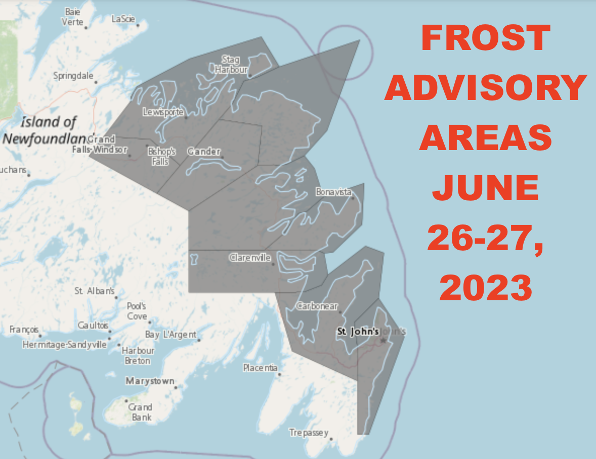
Due to the risk of temperatures falling to near 0 in some of the lowest-lying areas of eastern and central Newfoundland, a Frost Advisory has been issued for tonight. The Advisory is in effect for the following areas
- Avalon Peninsula North
- St. John’s & vicinity
- Grand Falls-Windsor and the vicinity
- Bay of Exploits
- Bonavista North
- Bonavista Peninsula
- Clarenville & vicinity
- Gander & vicinity
- Terra Nova

According to ECCC NL frost may damage some crops in frost-prone areas. The timing of the frost would be early Tuesday morning if are to see it. Cover up plants, especially those in frost-prone areas. Take preventative measures to protect frost-sensitive plants and trees. Frost advisories are issued when temperatures are expected to reach the freezing mark during the growing season, leading to potential damage and destruction to plants and crops.
Tuesday will see a return to warmer temperatures across much of the Province.


