


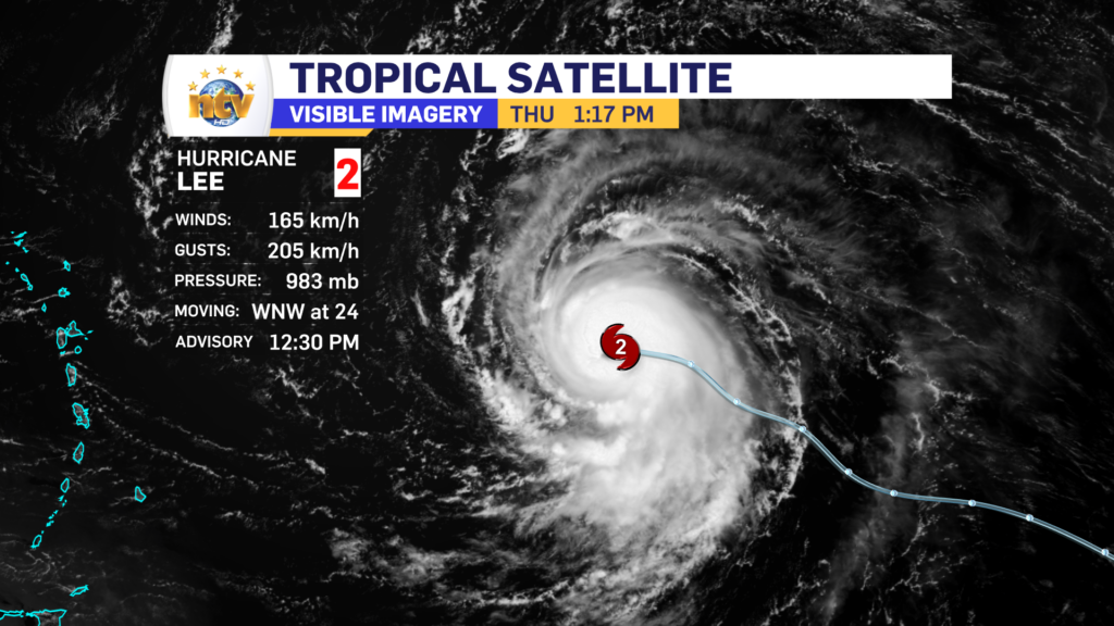
Hurricane Lee is rapidly strengthening this afternoon and is now a category 2 storm on the Safer-Simpson scale and packing maximum sustained winds of 165 km/h. The storm is heading west-northwest at 24 km/h and the central pressure is 983 mb and falling. The storm is located 1405 km east of the northern Leeward Islands.
The 5-day forecast track for Lee continues to show the storm maintaining a west-northwest track, north of the Caribbean Islands. The storm will also become a large and extremely dangerous hurricane during that time frame. And will likely be the first category 5 storm in the Atlantic Basin this year.

Beyond the 5-day forecast, there is relatively good agreement Lee will make a turn toward the north and eventually the northeast and will start to lose its punch as it leaves the warmer waters.
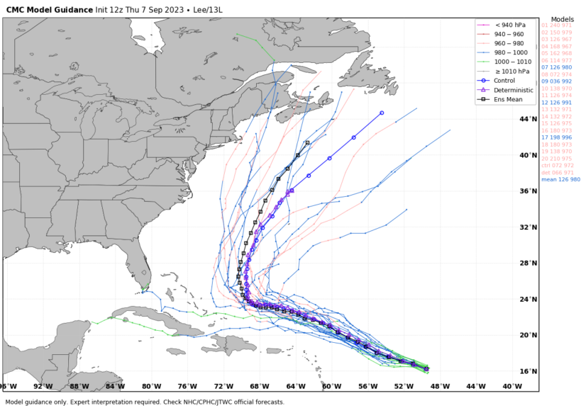
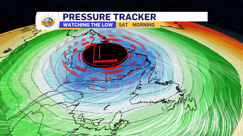
At this point it is too soon to say if the storm will impact Atlantic Canada late next week, however, it is something we need to monitor closely. The image above currently shows a wide range of options from the Grand Banks to New England.
Stay tuned for further updates.
-
NTV Weather Update | March 10, 2025
Good Monday morning! Today, we can expect quiet weather across most of Newfoundland and Labrador.…
-

The weekend looks colder and snowy (for some areas) behind departing storm system
Today Scattered flurries across the Province, with the chance of light snow in southeastern Labrador…
-
Spring-like storm delivers rain, ice, snow and wind Friday
A potent area of low pressure will drive rain and mild temperatures across the Island…
