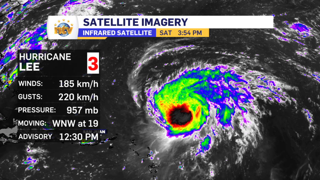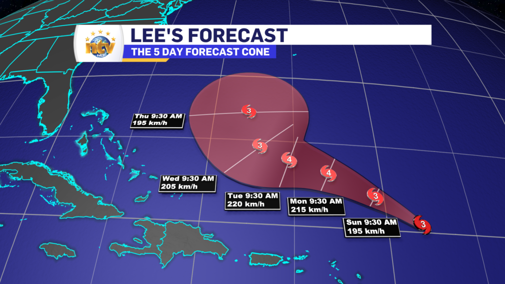
Hurricane Lee is still swirling north of the Caribbean Island this afternoon but is a bit of a weaker storm. The latest analysis from the National Hurricane Centre in the US shows winds of speeds of 185 km/h, making the storm a category 3 on the Saffir-Simpson scale. The storm is still heading toward the west-northwest at 19 km/h and will generally remain on that trajectory for the next few days. Some fluctuations in strength are likely to occur as the environment for the storm isn’t ideal.
After Tuesday, Lee will start to get pushed north as the atmospheric steering currents begin to force it that way. Once it makes the shift, the storm will likely hold, or start losing intensity, as the forward speed increases during the mid part of next week.

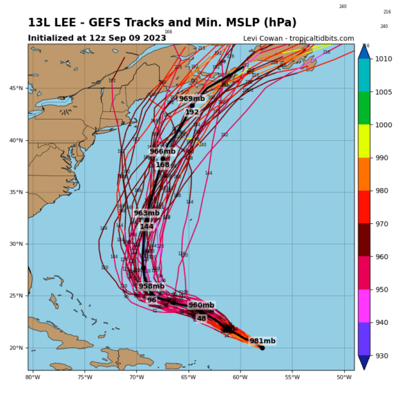
Beyond 5 days, no matter what you’re seeing today, it’s still too soon to get into specifics on where Lee will go. As of this writing (4:02 PM NDT) a wide variety of solutions are still on the table that could take the center of the storm anywhere from New England (Northeast USA) to Newfoundland or even the Grand Banks and anywhere between.

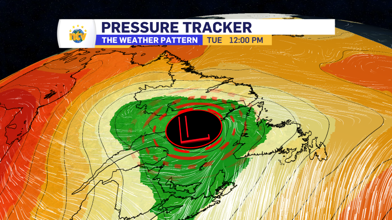
Once the storm starts to make the turn, and we can see how it will interact with another weathermaker swinging out of the eastern United States, I will have a better idea of where it’s going to go. Keep in mind that’s still 5 days from now, and any impact to our region, if it happens, will be about a week from now.
Please continue to monitor forecasts and updates on the storm.


