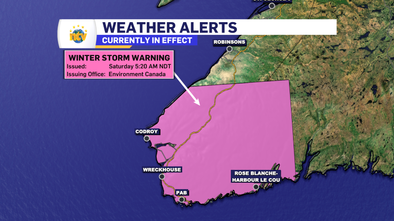
The Environment and Climate Change Canada Weather Office in Gander has issued a Winter Storm Warning for the following areas from midday Sunday until Sunday evening:
- Channel-Port aux Basques
Winter Storm Warnings are issued when multiple types of severe winter weather are expected to occur together.
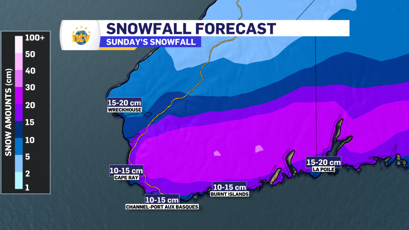
Snow will arrive in the area around midday Sunday and will quickly become heavy at times. Snowfall rates up to 3 centimeters per hour are likely until Sunday evening when the snowfall tapers off. In addition, wind gusts of 60 to 80 km/h from the southeast will accompany the falling snow. The combination of strong winds and falling snow will reduce visibility in areas of blowing snow.
The weather alert states that 15 to 25 cm of snow will likely fall.
Due to accumulating snow, surfaces such as highways, roads, walkways, and parking lots will become challenging to navigate. Visibility will suddenly be reduced to near zero in heavy snow and blowing snow.
Postponing non-essential travel until conditions improve is something to be considered.
Monitor the latest weather alerts from ECCC NL here.
-
NTV Weather Update | May 16, 2025
May 2-4 Long Weekend Weather Outlook: Mostly Mild and Manageable The unofficial kickoff to summer…
-
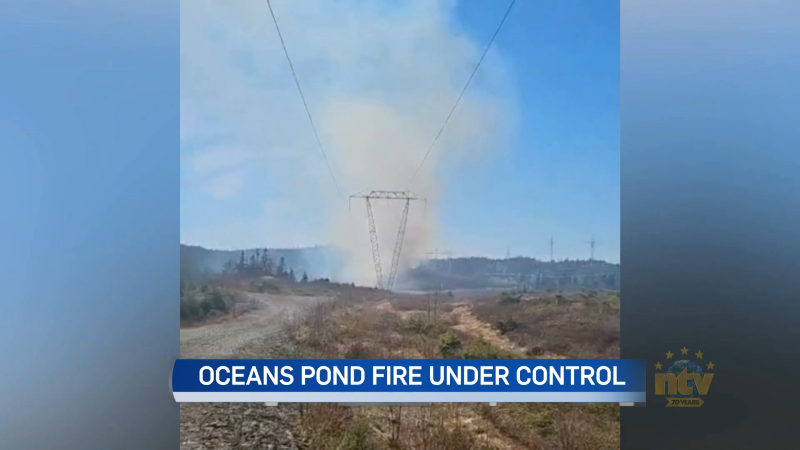
Forest fire under control near Ocean Pond
A fire that broke out in a wooded area near Ocean’s Pond late this afternoon…
-

RNC warns about danger of field parties heading into long weekend
The Victoria Day long weekend is upon us, and police are warning youth in the…