




3 years ago
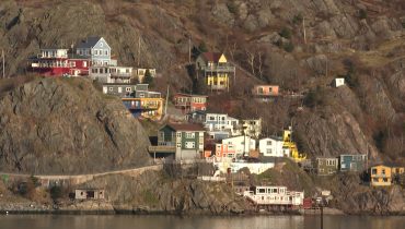
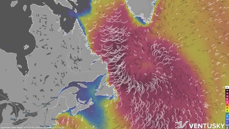
Large waves along northeast Newfoundland and northern Avalon Avalon shorelines into Tuesday
THIS ALERT HAS BEEN ENDED Updated at 6:57 AM NST on January 8, 2024 to reflect the changes to the alerts and the storm surge warning for St. Joh’ns & vicinity. An intense storm will remain nearly stationary south of Greenland for the next several days. This system will produce long-period swells, with large breaking […]
Read more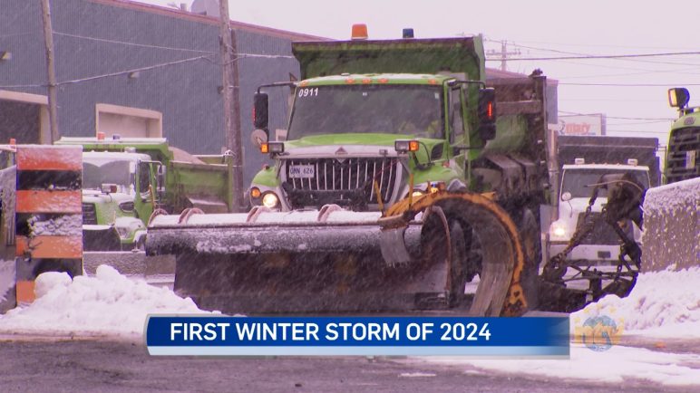
3 years ago
Snow shuts down Eastern portion of island
Metro schools, post-secondary institutions, businesses and the courts were closed today as the Avalon braced for the first winter storm of 2024. NTV’s Becky Daley has the story.
Read more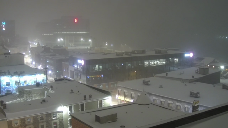
3 years ago
Snow eases overnight on the Avalon, arctic air settles in for the weekend
The snow across eastern Newfoundland will slowly end overnight from west to east. The heaviest snow will be over the Avalon, while areas to the west will see much lighter amounts. The reason for this is the low-pressure centre driving the snow has tracked about 30 to 40 km to the east. The Burin and […]
Read more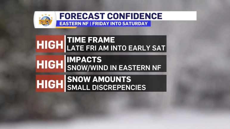
3 years ago
Winter storm for eastern Newfoundland moves in this morning, forecast remains largely unchanged
LIST OF CLOSURES FOR TODAY Winter Storm Warnings and Watches remain in effect this morning for areas of eastern Newfoundland, and the Avalon Peninsula, with the Avalon under the Winter Storm Warning. Remember, Environment Canada will issue a warning like this when multiple types of severe winter weather are expected to occur together. In today’s […]
Read more