


3 years ago
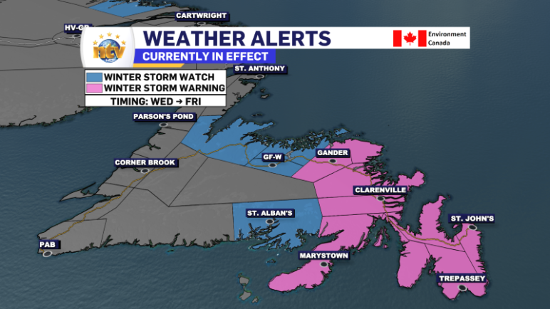
Winter Weather Alerts remain in effect ahead of winter storm, which arrives early Wednesday
The latest forecasts continue to indicate that a major, long-duration, winter storm will bring heavy snowfall and high wind speeds to a large area of the Island beginning late tonight or early Wednesday and continuing into Friday. Current forecasts also point toward a slightly colder scenario where most, if not all, of the mixed precipitation […]
Read more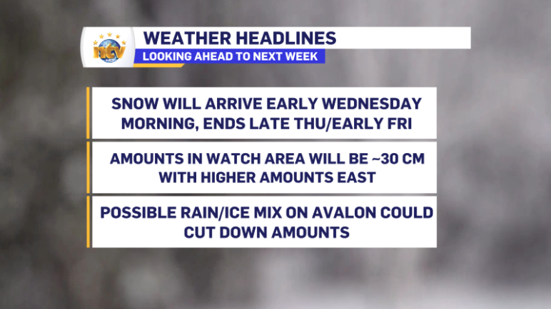
3 years ago
Tuesday is quiet ahead of a long-duration winter storm
The following 24 hours across NL will be quiet across most of the province, with very little impactful weather. The exception will be parts of northern Labrador, where snow will fly through the 24-hour period. In fact, on Tuesday, it will move back toward Labrador West. The only thing of note will be some flurries […]
Read more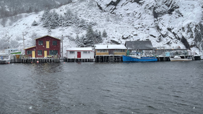
3 years ago
New week, new storm: Winter Storm Watch in effect from Wednesday to Friday for eastern half of Newfoundland
We are kicking off a new work week with some showers and flurries across the Avalon and Burin Peninsulas this Monday morning. These will move offshore in the next few hours, and the weather across the Island will generally remain uneventful through Tuesday. Meanwhile, the north coast of Labrador will see snow over the next […]
Read more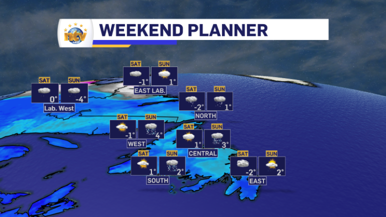
3 years ago
A calm weekend is in the cards before a busy week ahead in N.L.
The Basics (TL;DR) Sunday’s Forecast Newfoundland: Mostly cloudy with rain and snow showers. Highs of 2 to 4. Labrador: Mostly cloudy with scattered flurries. Highs of 1 in the east to -4 in the west and north. Monday’s Forecast Newfoundland: A few morning showers or flurries for the Avalon, otherwise partly to mostly cloudy across […]
Read more