


3 years ago
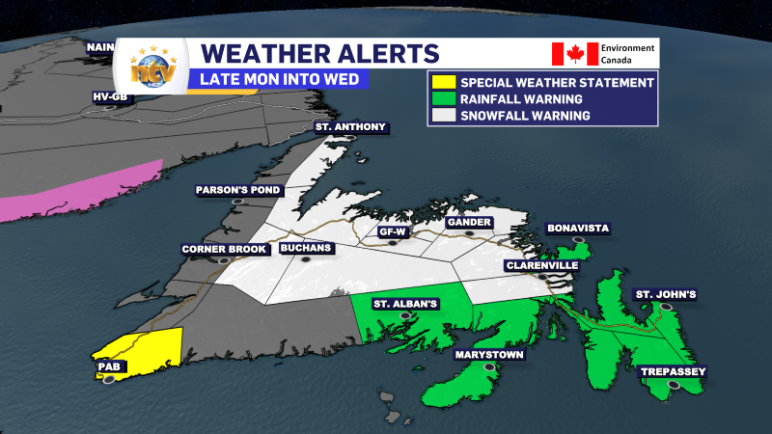
Rainfall, Snowfall, and Wind Warnings are in effect ahead of another slow-moving winter storm
A slow-moving, nearly stationary area of low pressure to the south and southwest of Newfoundland will bring a round of heavy rain, snow, and high wind speeds to the Island portion of the Province from later today (Monday) through late Tuesday or early Wednesday. Ahead of this the Environment and Climate Change Canada Weather Office […]
Read more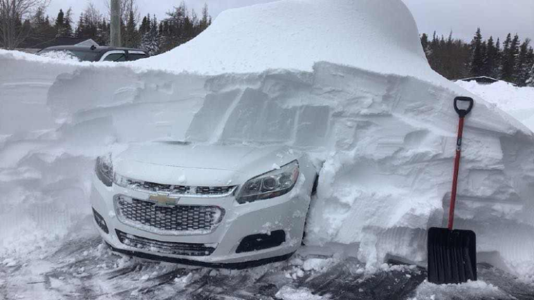
3 years ago
Snowfall totals from latest winter storm
Credit for the image above goes to Edgar Slade in Western Bay, NL A late-season storm brought heavy snowfall to eastern and northeastern Newfoundland from late Thursday through early Saturday morning. Significant amounts of ice were also observed over southern Avalon and Burin Peninsulas on Thursday night and Friday morning. Here is a preliminary list […]
Read more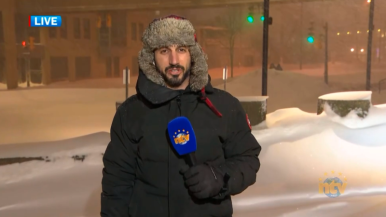
3 years ago
Heavy snow from our major winter storm continues in the east overnight
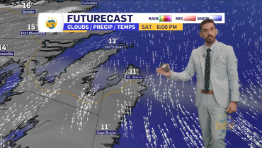
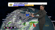
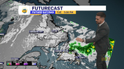
The slow-moving storm has dumped more than 50 cm of snow on the city of St. John’s so far, and there is more to come before we’re all said and done Saturday morning. NTV’s Chief Meteorologist Eddie Sheerr has the details in tonight’s forecast.
Read more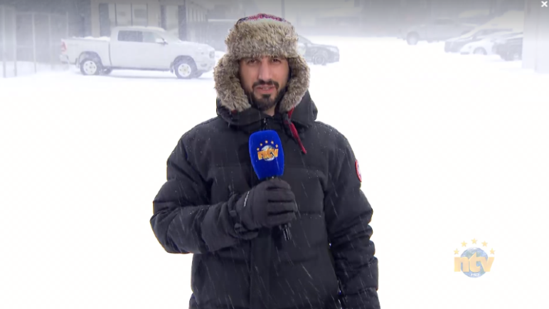
3 years ago
Afternoon update; snow gets heavier this afternoon in the east
Many areas of the Avalon and Burin Peninsulas saw snow, ice pellets, and freezing rain overnight into the morning hours today. While the ice pellets are annoying, they generally will not lead to a severe weather event. Freezing rain, on the other hand, can. And in this case, it has. There has been significant ice […]
Read more