


2 years ago
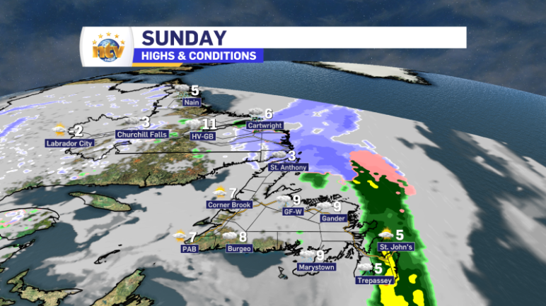
Rain (and some wet snow) move through on Sunday
A weak area of low pressure and its associated frontal boundaries are moving across the Island portion of the Province early Sunday morning. This drives rain, some high-elevation snow across the Island, and a mixture of rain and snow in Labrador. As this system moves northeast of Newfoundland later today, it will take the rain […]
Read more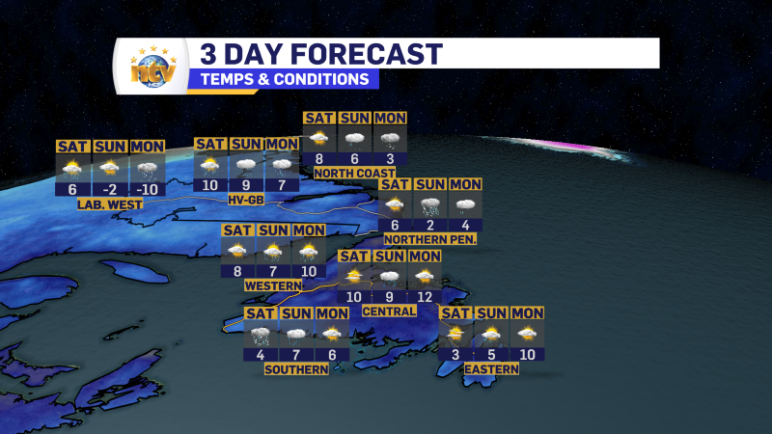
2 years ago
The weekend looks half decent… literally!
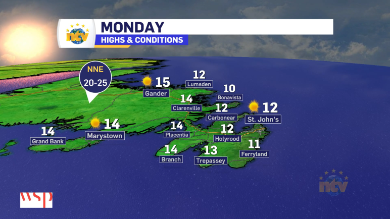
Here are the highlights of the forecast for the next 5 days! Sunday Monday Tuesday Wednesday
Read more
2 years ago
Weather improves over eastern Newfoundland this afternoon, and the rest of NL will get a decent day!
This morning, we are waking up to snow and rain on roughly the eastern half of the Island. Road conditions are reported as snow-covered or partly snow-covered, and travel is not recommended in some areas. It does look like the snow is limited to inland areas and higher terrain. The two images below show you […]
Read more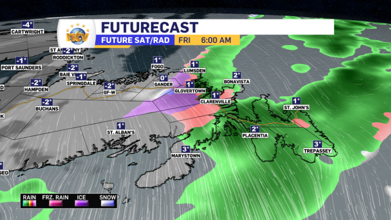
2 years ago
Rain and snow linger into early Friday before the sunshine returns!
Rain, snow, and ice will continue overnight across eastern and northeastern Newfoundland. Most areas will see rain, but the area around Gander may remain mostly snow. As of 6:20 PM Thursday evening, roughly 10 cm of snow has fallen in Gander. Some other areas of the Avalon and Burin Peninsulas have also seen 5 to […]
Read more