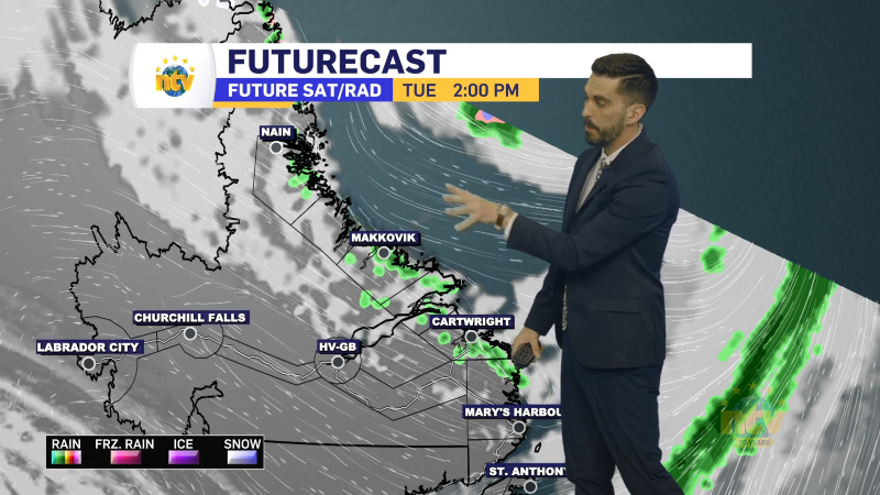
An area of low pressure will brush southern areas of the Island today as it moves from east to west, and eventually southwestern into the Cabot Strait this afternoon. The movement of this low and weather pattern around it will drive more rain, drizzle and fog over much of the Island and coastal Labrador.
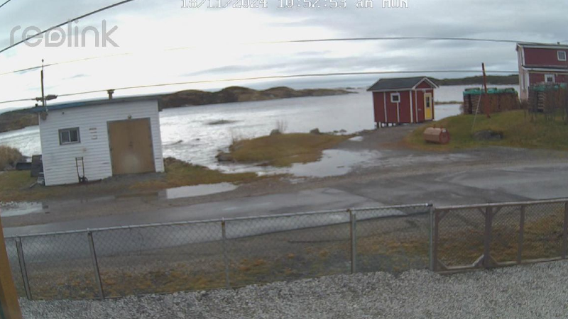
Due to the low’s close proximity to Newfoundland and the several days of onshore flow, there is the potential for some high water levels with this morning’s high tide along many south-facing shores. The ideal forecast for Placentia is forecast to be just above high astronomicla tide, which means there will likely be some minor flooding in that area. I also think scenes like that will be repeated for many low-lying areas today. I know Burgeo has seen high water levels for the last few days and today may be the highest. A Special Weather Statement is in effect for the high water levels from ECCC NL.
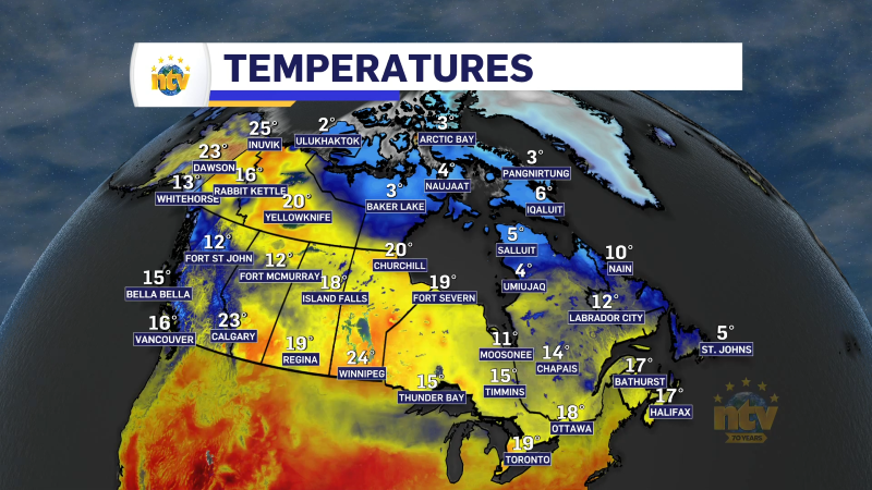
Temperatures will be on the mild side once again today, and there are no signs of that changing in the near term. It will be the mildest on the Island and the coolest in the Big Land.

I’ll have a thorough forecast update this afternoon. Have a great Tuesday!
/Eddie
-
NTV Weather Update | June 16, 2025
Good Monday morning! The weather across the Province is starting off cool, comfortable, and sunny.…