


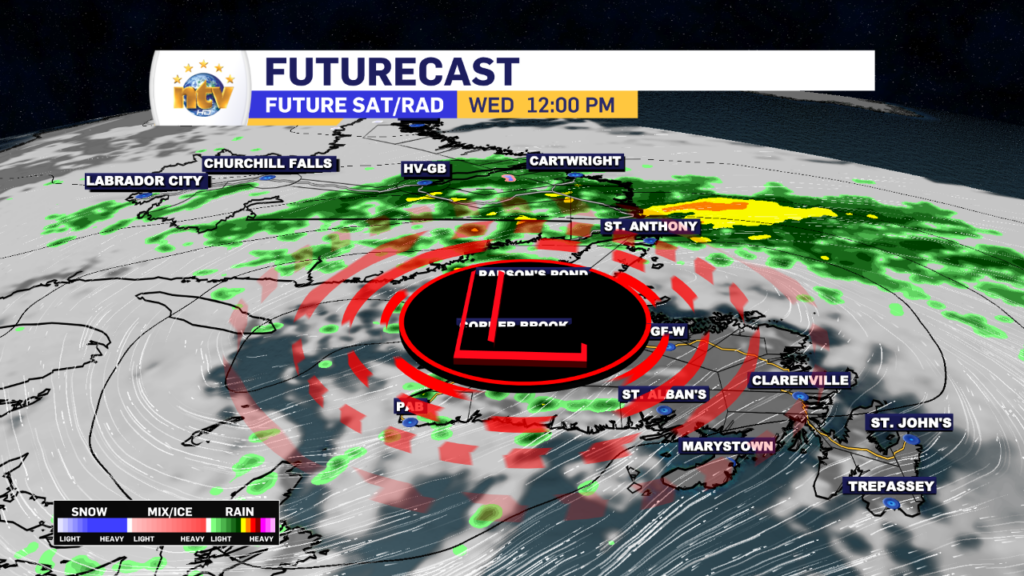
The advertised heavy rain band that worked across eastern Newfoundland overnight is in the process of moving offshore. Radar imagery from Holyrood indicates this rather well. And speaking of radar, don’t forget we have a live, interactive radar on our weather page!
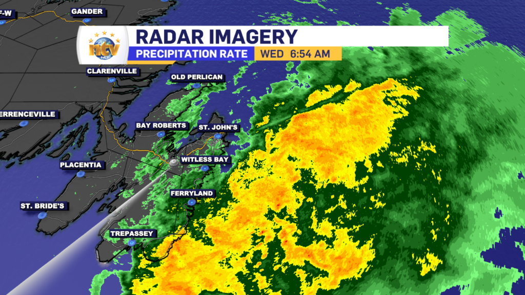
Rainfall totals across a large part of southern and eastern Newfoundland, going back to last night, are generally between 15 and 30 mm, with lesser amounts through Central and parts of the West Coast.
Behind the rain, we will get a brief surge of warm air to move across most of the Island, along with breaks in the cloud cover. The exception will be on the Northern Peninsula, where rain lingers through much of the day, and on the West Coast, where showers will be numerous this afternoon. Highs reach the upper teens to lower 20s for a large contingent of the Island south of the GNP.
Much of southeastern Labrador will see the rain continuing throughout the day. Highs reach the upper single digits for most areas. And there may even be some snow in the higher elevations!
I’ll have your updated long-range forecast later today!
-
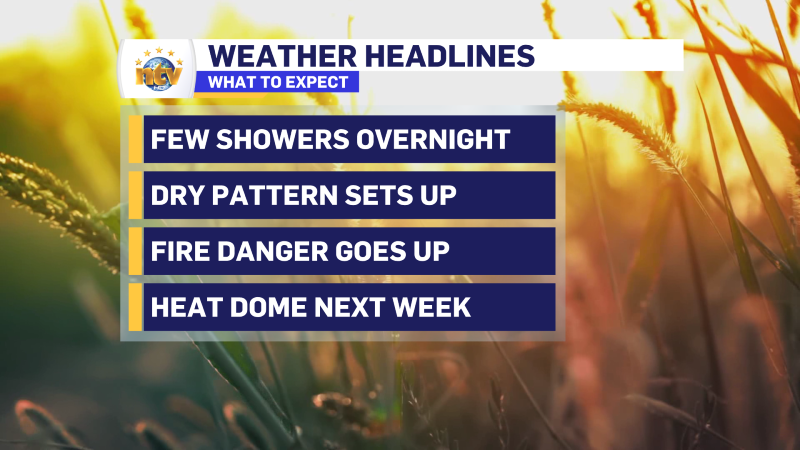
Enjoy the “cool” weather Saturday because a hot stretch of weather starts Sunday
Our Saturday will be a lovely summer day across much of the Province. Expect blue…
-

Rain returns for Friday, but a Heat Dome is looming for next week
A ridge of high pressure, also known as a Heat Dome, will set up shop…
-

The warmth lingers into Thursday, but showers arrive in the Big Land late
The weather acros the Province remains generally dry and warm for the next few days,…
