


Sunday’s Forecast
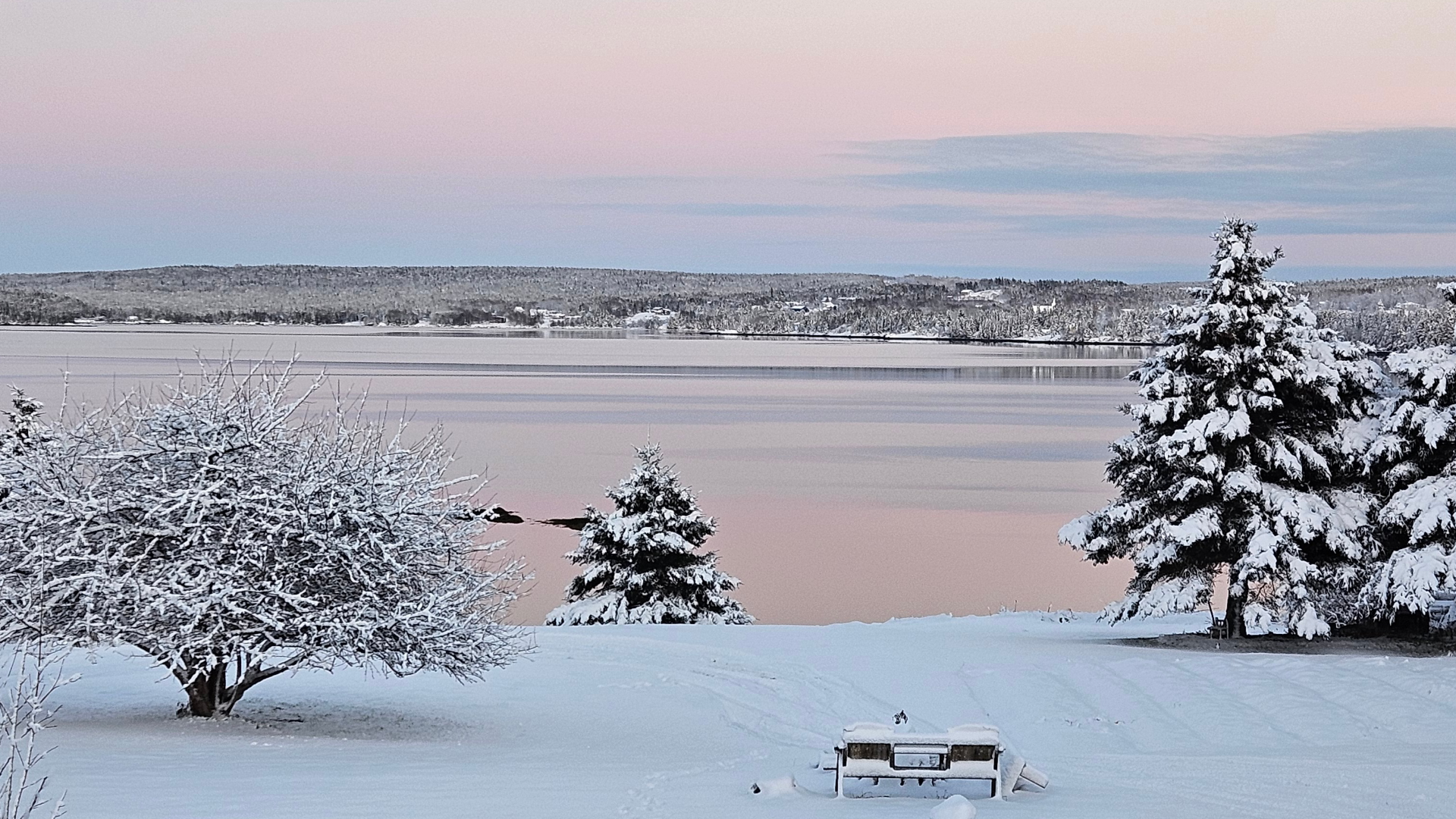
Generally quiet and cool weather can be expected across the Province on Sunday. Highs will be near freezing on the Island and a few below freezing to the minus teens below freezing in the Big Land. I don’t expect much precipitation to fall over the weekend, but scattered flurries are possible here and there.
Snow LIkely Monday into Tuesday
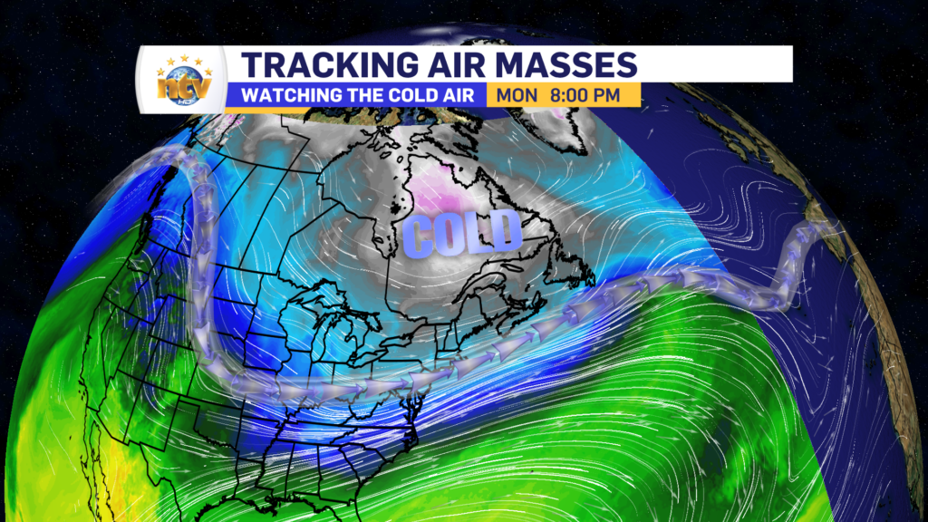
Cold air will settle across the region during the weekend’s second half and through next week as the jet stream dips over the continent’s eastern side. The jet stream is often where lows will develop and track along, as it generally is the dilenator of warm and cold air.
An area of low pressure will develop along the jet stream Monday and track south and east of the Island between late Monday and Tuesday. This track places much of the Island on the low’s cold side (north/west).
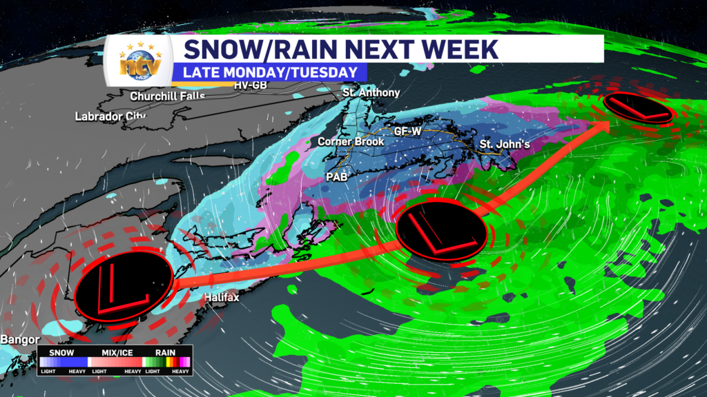
In this time frame, the heaviest snowfall will likely be over the South Coast, Burin, and Avalon Peninsulas, and the highest amounts look to be in the 10-15 cm range, with locally higher amounts possible.
We can expect wintry conditions to overtake a good bit of the Island during the second half of Monday, and that will likely continue into and possibly throughout Tuesday in some areas.
Updates on the forecast will come over the weekend on NTV.ca and my social media channels. So be sure to check back, as by this afternoon or evening, I will have a better idea of how this will all play out.
Have a great weekend!
-

Hot and humid start to the weekend
The Island will see sunny skies to start today. There are a few fog patches…


