


Weather forecast: Saturday, April 4
Snow will taper off across the island today, with colder temperatures and gusty winds moving in. Here’s your forecast.
St. John’s / Bonavista
Today
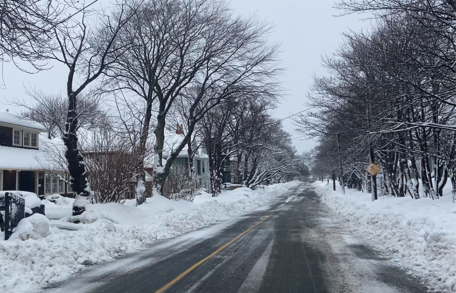
Snow at times heavy ending late this afternoon then cloudy with 40 percent chance of flurries. Amount 15 cm in St. John’s and 5 cm in Bonavista. Wind becoming northeast 20 km/h gusting to 40 this morning then north 30 gusting to 50 this afternoon. High minus 2 in St. John’s and minus 1 in Bonavista. Wind chill near minus 12. UV index 1 or low.
Tonight
Cloudy. 40 percent chance of flurries this evening. Wind north 40 km/h gusting to 60 becoming northwest 30 gusting to 50 near midnight. Low minus 8 in St. John’s and minus 9 in Bonavista. Wind chill near minus 17.
Sun, 5 Apr
A mix of sun and cloud becoming cloudy in the afternoon. Wind northwest 20 km/h gusting to 40 becoming light near noon. High minus 2 in St. John’s and minus 3 in Bonavista. Wind chill minus 15 in the morning. UV index 5 or moderate.
South Coast
Today
Snow ending this morning then clearing. Blowing snow over exposed areas early this morning. Amount 5 cm. Wind northeast 30 km/h gusting to 50 becoming northwest 30 gusting to 50 this afternoon. High plus 2. Wind chill minus 9 this morning. UV index 3 or moderate.
Tonight
Clear becoming partly cloudy overnight. Wind northwest 30 km/h gusting to 50 becoming light this evening. Low minus 7 except minus 12 in low lying areas.
Sun, 5 Apr
Becoming cloudy in the morning. Snow beginning early in the afternoon with blowing snow developing late in the day. Amount 5 cm. Wind southeast 30 km/h gusting to 50 except gusting to 70 in the Wreckhouse area late in the afternoon. High minus 1. Wind chill near minus 11. UV index 3 or moderate.
Central
Today
Snow ending this afternoon then cloudy with 40 percent chance of flurries. Amount 2 to 4 cm. Wind becoming north 20 km/h gusting to 40 near noon. High minus 2. Wind chill near minus 11. UV index 2 or low.
Tonight
Mainly cloudy. 40 percent chance of flurries early this evening. Clearing overnight. Wind north 20 km/h gusting to 40 becoming northwest 20 overnight. Low minus 10. Wind chill minus 17 overnight.
Sun, 5 Apr
A mix of sun and cloud becoming cloudy near noon with 60 percent chance of flurries late in the afternoon. Wind northwest 20 km/h becoming southwest 20 in the afternoon. High minus 3. Wind chill minus 18 in the morning. UV index 4 or moderate.
West Coast
Today
Snow ending late this morning then clearing. Amount 2 to 4 cm. Wind northeast 20 km/h gusting to 40 becoming north 30 gusting to 50 near noon. High zero. Wind chill minus 11 this morning. UV index 3 or moderate.
Tonight
Clear becoming partly cloudy before morning. Wind northwest 20 km/h gusting to 40 becoming light near midnight. Low minus 10 except minus 15 in low lying areas. Wind chill minus 13 this evening.
Sun, 5 Apr
Becoming cloudy in the morning. Snow beginning early in the afternoon. Amount 5 cm. Wind becoming south 20 km/h gusting to 40 early in the afternoon. High minus 3. Wind chill near minus 13. UV index 3 or moderate.
Northern Peninsula
Today
Cloudy with 60 percent chance of flurries this morning then a mix of sun and cloud. Wind north 20 km/h becoming northwest 20 gusting to 40 this afternoon. High minus 5. Wind chill minus 19 this morning and minus 12 this afternoon. UV index 3 or moderate.
Tonight
Partly cloudy becoming clear this evening. Wind northwest 20 km/h gusting to 40. Low minus 14. Wind chill minus 22 overnight.
Sun, 5 Apr
Sunny becoming a mix of sun and cloud near noon then 40 percent chance of flurries late in the afternoon. Wind becoming southwest 20 km/h in the afternoon. High minus 7. Wind chill minus 20 in the morning. UV index 5 or moderate.
Happy Valley–Goose Bay
Today
Sunny. Wind becoming northwest 20 km/h gusting to 40 near noon. High minus 3. Wind chill minus 24 this morning and minus 9 this afternoon. UV index 3 or moderate.
Tonight
Clear. Wind northwest 20 km/h gusting to 40 becoming light this evening. Low minus 20. Wind chill minus 24 overnight.
Sun, 5 Apr
Increasing cloudiness with snow beginning late in the afternoon. Wind becoming southeast 20 km/h in the afternoon. High minus 5. Wind chill minus 24 in the morning and minus 10 in the afternoon. UV index 4 or moderate.