Much less snow Thursday, but still snow
Ryan Harding, NTV Weather Centre
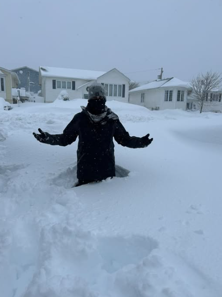
The headline is as simplified as we can put it. Much, much less snow is expected Thursday. But still, the final snowfall total isn’t ready to be solidified just yet from the latest winter storm that brought over 60 cm to parts of the Metro region.
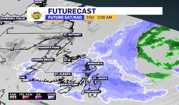
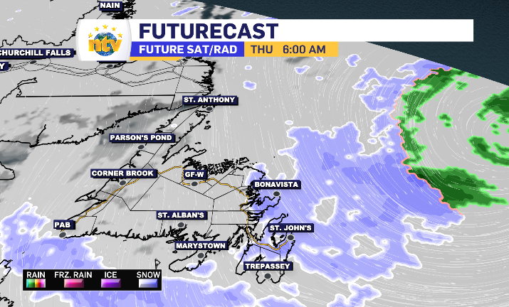
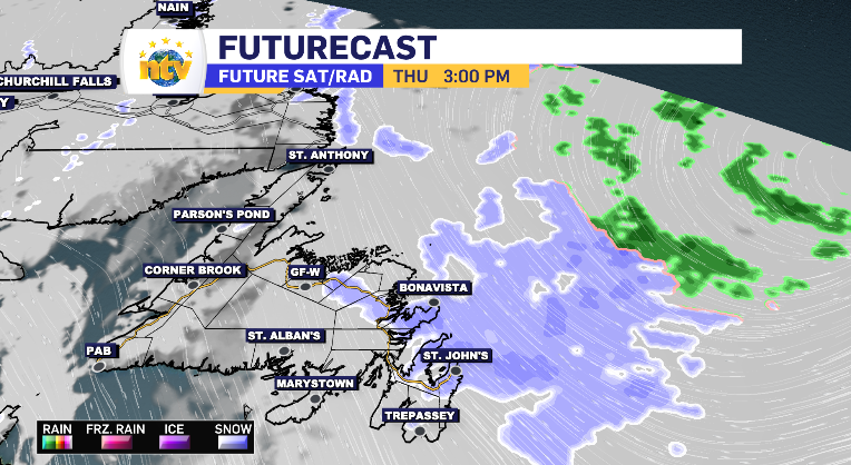
By early morning, the outer bands of the system look to linger solely along the Bonavista Peninsula and northern half of the Avalon Peninsula, clipping a portion of the Kittiwake Coast as well. It’s a relatively light, but consistent, snow averaging an extra 5 cm or so by end of day while trickling off into flurries by late afternoon into early evening hours.
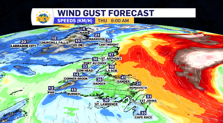
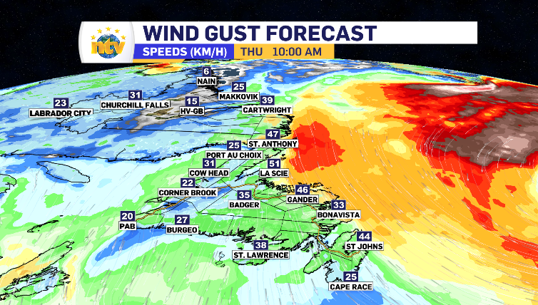
The areas that saw the most significant wind during this system Wednesday will still likely experience the top gusts throughout Thursday, however, those high end numbers are also going to see a major drop off with the snowfall rate.
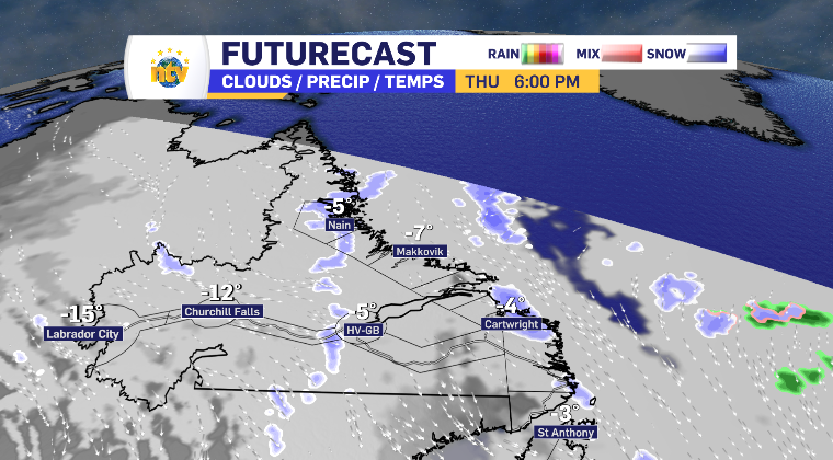
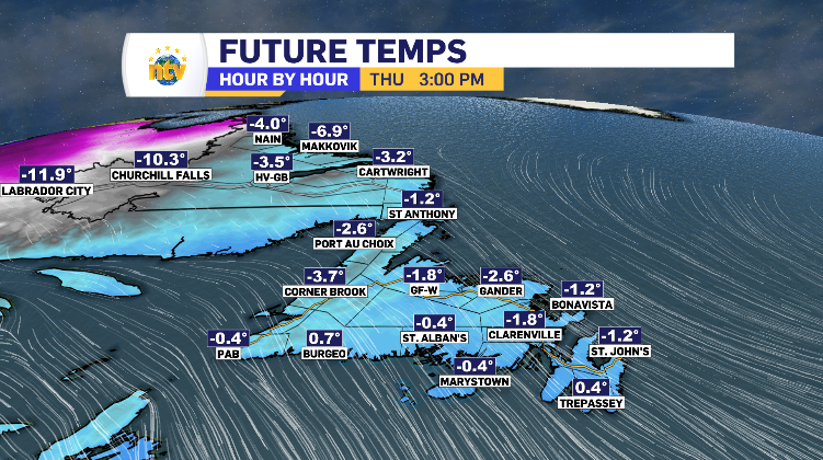
The rest of the island and Labrador is looking at a modest Thursday. Mostly clouds with a few sunny breaks here and there. Temperatures look to be in the above seasonal average range – in Labrador specifically.
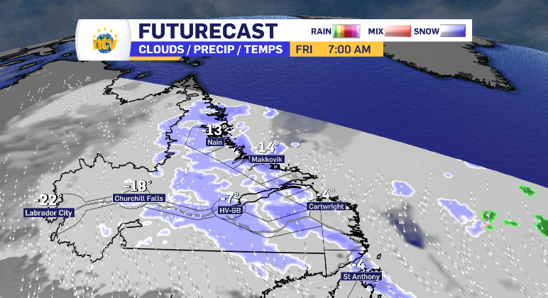
We are tracking some snow that enters Labrador via Nain and Cartwright as flurries, but, it looks to grow into Friday and extend into Happy Valley-Goose Bay for 5-10 cm.