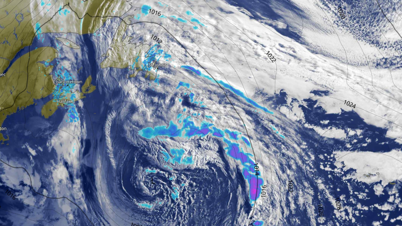
A slow-moving area of low pressure sitting southeast of Newfoundland this morning is driving rain, drizzle, and fog across much of the Island as we start our Monday. Some areas around Green Bay – White Bay and the Northern Peninsula likely see pockets of freezing rain inland over higher terrain. Freezing Rain Warnings remain in effect for those areas this morning.

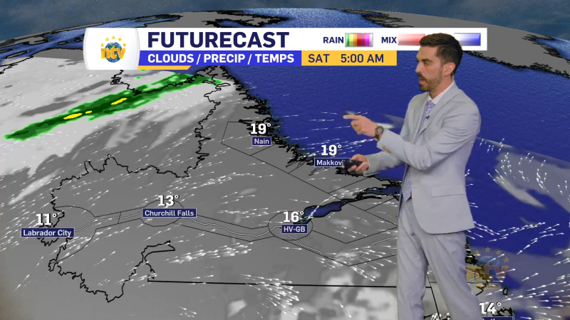
The freezing rain on the Island will end later this morning as temperatures rise above freezing. However, as the morning progresses, rain will cross the Straits and push into southeastern Labrador. While some areas along the coast will likely see rain, inland locations will see pockets of freezing rain, and a Freezing Rain Warning is also in effect for the southeast corner of the Big Land through this morning.

Once the freezing rain changes to rain, heavy rain will fall over the same areas of southeastern Labrador into Wednesday. Due to that, a Rainfall Warning is also in effect for some of those areas for up to 45 mm of rain in the time frame.

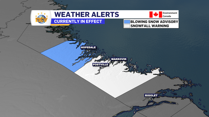
There will be a cold side to this system over northern Labrador and back about as far west as Happy Valley-Goose Bay, where snow will fly from later today into late Tuesday or early Wednesday. At this moment a Blowing Snow Advisory is in effect for Hopedale and vicinity for up to 15 cm of snow and wind gusts to 80 km/h and a Snowfall Warning is in effect for Postville – Makkovik for up to 35 cm of snow.

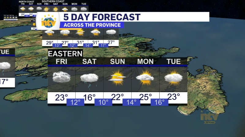
The weather pattern driving today’s system is going anywhere fast, and while the most significant precipitation is going to be early in the week, the rain, drizzle, and fog for coastal areas of N.L. will continue throughout the week. There are some signs the pattern may break by the weekend and I’ll keep a close eye on that. Fingers crossed!
Stay tuned for more updates later!


