Rain and snow persist across the Island Wednesday

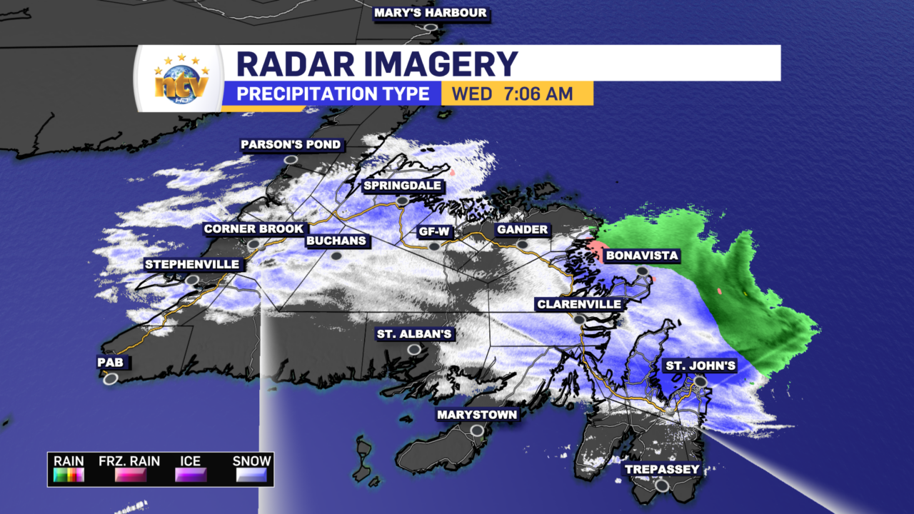
A weakening area of low pressure will rotate across, or near, the Avalon Peninsula today from northwest to southwest. This low, combined with broad onshore flow will drive another round of rain and wet snow across much of the Island today. The exception will be parts of the West Coast and the South Coast, which will remain primarily dry. We are already seeing evidence of this on the radar, and the video below shows the rain and wet snow backing in (moving north to south) across the Island quite nicely this morning.

Snow and rain will fall at various intensities across the Island today in the aforementioned areas. Snowfall amounts today will be not be impressive, however areas of higher terrain will see some accumulation. This will be especially true for areas of Central just inalnd from the coast, the Green Bay – White Bay area and parts of the West Coast. As you can see in the image below, the snow will not fall uniformly today.

Today, temperatures on the Island will hover near the freezing mark, except in the south, where highs will be a few ticks above the old goose egg. Wind speeds will not be as high as yesterday, but some areas along the northeast coast may see a brief period of gusts nearing 70 or 80 km/h this afternoon.

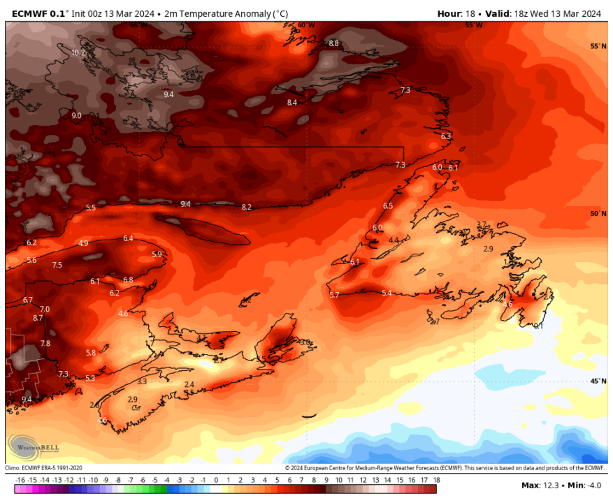
Labrador will be seeing unseasonable warmth once again today. Temperatures will climb into the single digits near and above freezing for many areas for the afternoon highs. Goose Bay may get as warm as 4º to 5º this afternoon.

Readings this warming Labrador are extremely warm for the time of year? How warm you ask? Take a look at today’s temperature anomalies for the Big Land. Some places will be as much as 10º above normal!

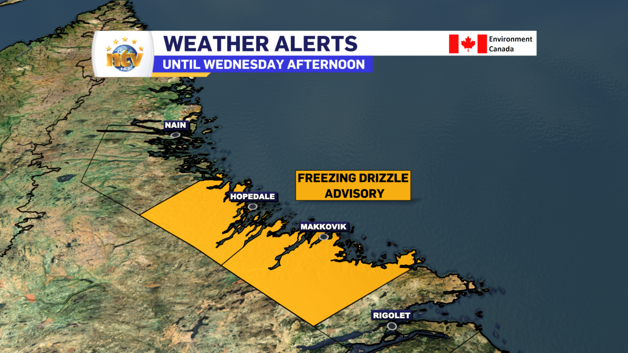
On top of that, a freezing drizzle advisory is in effect for Postville – Makkovik, and Hopedale until this afternoon. Surfaces in the area will be slippery as freezing drizzle falls. Persistent freezing drizzle is also very effective and builds up on elevated items like trees and power lines. As temperatures moderate, this ice will fall, so take caution!


