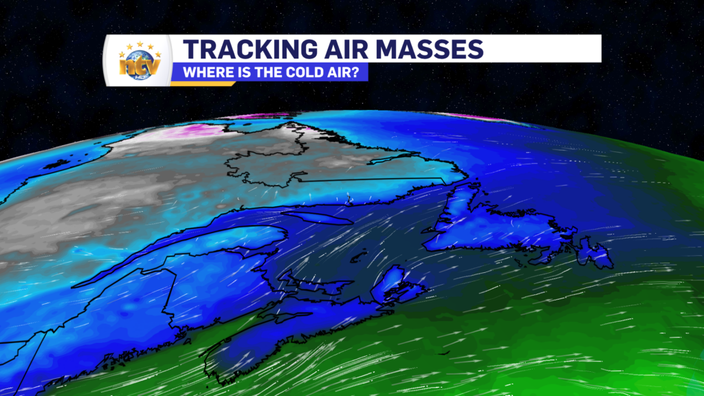
Our Wednesday will see generally quieter and calmer weather across the Province as the area of low pressure that brought the unsettled weather Monday into Tuesday departed. It’s also quiet a bit colder as well, as the warm air has been pushed well east and south of the Island. Highs today will generally be in the single digits above and below the freezing mark, except minus teens in Labrador West.
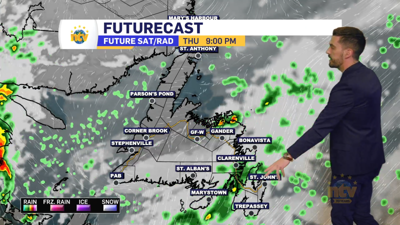
The West Coast will see rain and snow arrive later this afternoon ahead of a cold front. As the front moves in, rain and snow will become more widespread over western sections of the Island after lunch time. This will be most intense during the later afternoon and evening hours and locally stormy conditions will occur, especially over higher terrain. Future Radar times out the arrival of this very well.
Snowfall amounts over the next 24 hours will not be prolific, but some areas of the West Coast will see amounts >15 cm. These areas will mainly be the higher terrain and locations under persistent snow squalls and flurries later today and tonight.

I’ll have a longer range peak at your forecast later today and on NTV this evening. In the meantime, check out the weather centre if you haven’t already!