Trading snow for bitter winds but sunny skies over next 48 hours

Ryan Harding, NTV Weather Centre
Gone is the latest low-pressure system that brought 5-10 cm across the island Wednesday and replacing it is a high-pressure system, keeping skies clear but allowing cold temperatures to sweep across the province into Thursday.
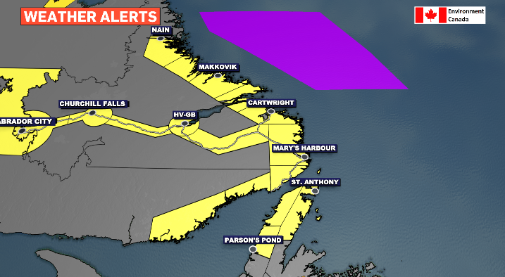
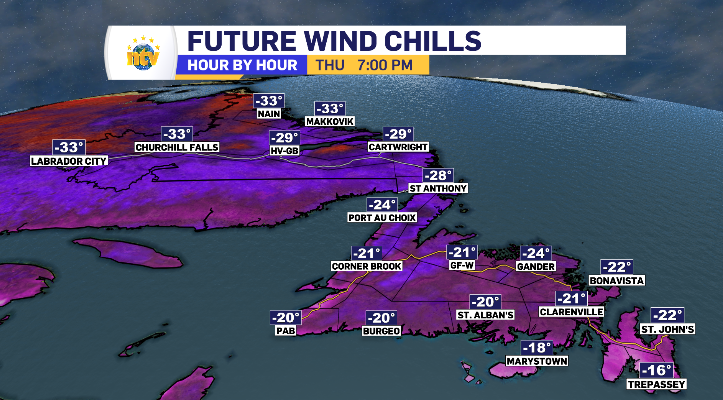
It’s looking to get cold enough in Labrador to toggle the warning from Environment Canada across the Big Land in it’s entirety, bringing the coldest windchill of -46 to Labrador City.
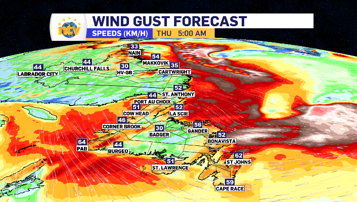
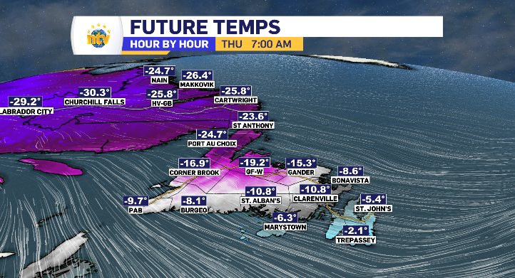
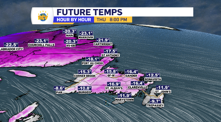
The incoming high-pressure system is clearing skies and creating a runway of sorts for a northwest wind to sweep from Labrador down and across Newfoundland as whole, bringing that bitter windchill with it throughout Thursday. By end of day, St. John’s will feel as cold as -22.
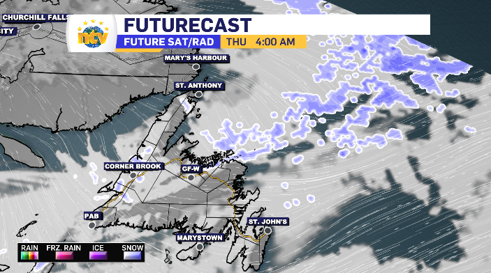
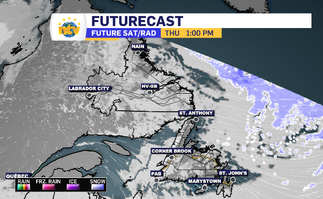
As mentioned, for the most part, clouds part across the province as Thursday unfolds ensuring sunshine almost across the board. The only blemish to be found on the radar is some early light flurries passing across the West Coast looking to clear through the afternoon and join in on that sun and cloud.
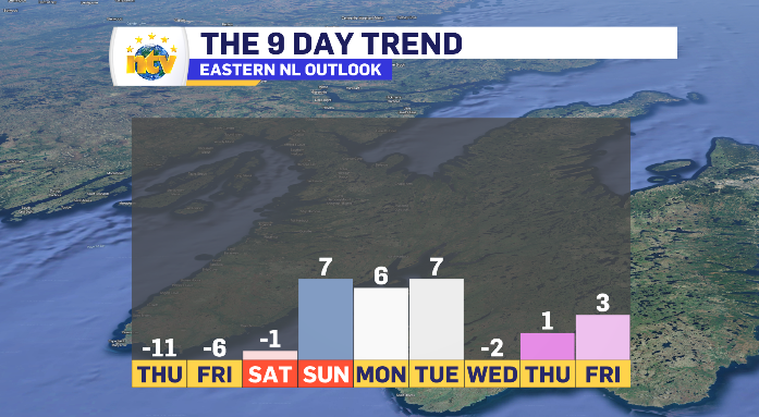
It does look as though those deep windchills are short lived. A quick look at a long-range forecast for the Metro region show temperatures entering into spring-like numbers, a trend tracking across the island portion of the province.