Sun returns across Newfoundland and Labrador Friday before next system rolls through

Ryan Harding, NTV Weather Centre
Clouds part through Friday across Newfoundland while cooler temperatures settle in
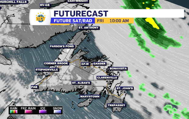
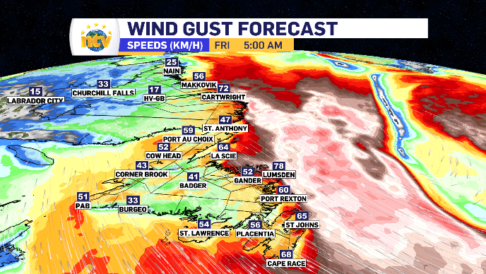
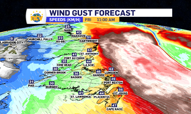
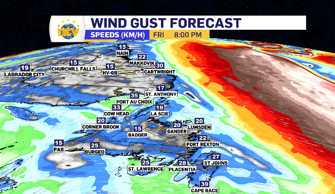
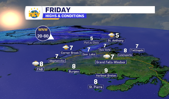
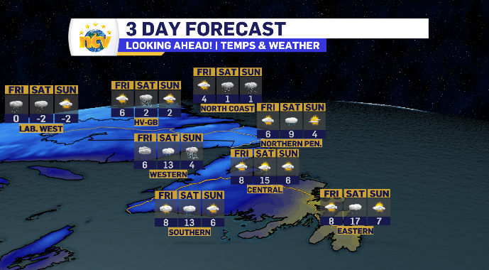
Friday morning comes with a wind similar to Thursday morning, gusting 70-90 km/h. This time, however, the wind is coming from the northwest, meaning a much cooler start to the day and limited day time highs.
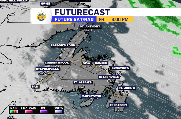
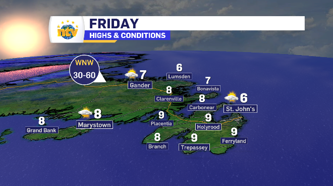
That northwest wind is in place island-wide Friday, keeping temperatures in the single digits. The wind does tapper off as the day rolls on, first on the western side and then calming winds reach the east by end of day.
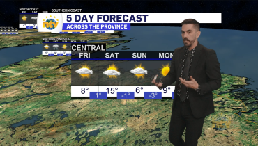
There is some extra cloud on the west and east coast, with prolonged sunshine in central. There is sunny breaks for all throughout the day as a whole.
Newfoundland and Labrador daytime highs for Friday
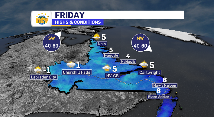
Cloud increases across Labrador Friday in anticipation of weekend snow
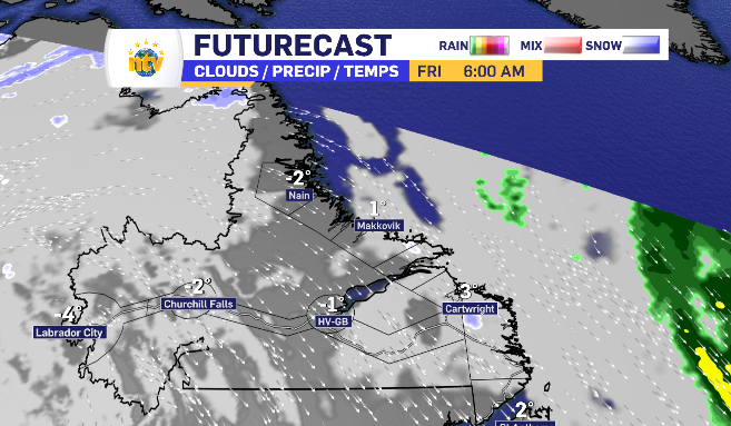
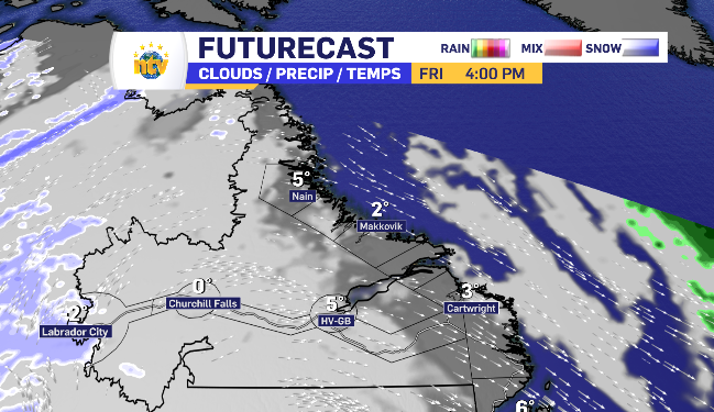
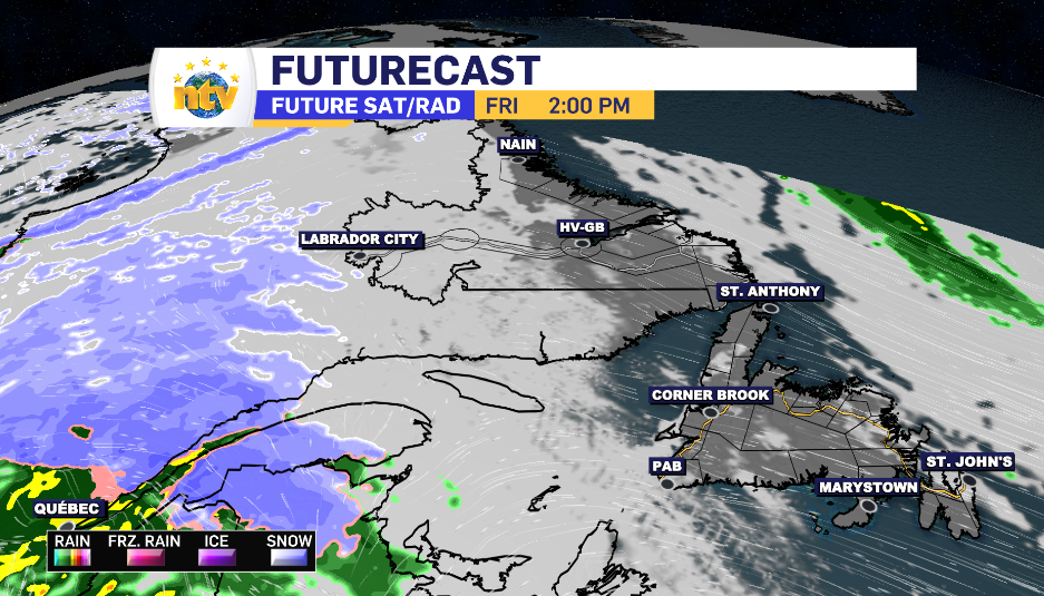
Friday starts with sun and cloud stretching across Labrador, with cooler temperatures anticipated in Labrador West.
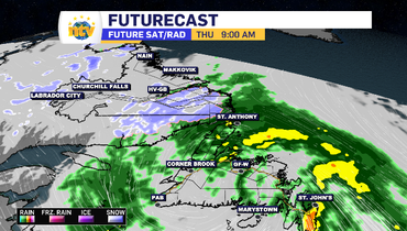
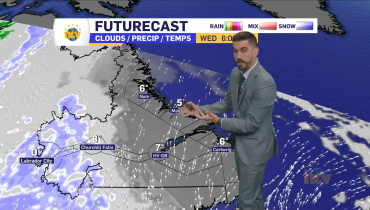
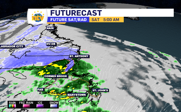
Those cooler temperatures allow for snow once the next low-pressure system rolls through, starting in Labrador City late Friday afternoon.
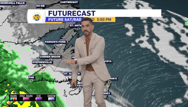
The sun and cloud lasts across most other regions for the bulk of Friday, however by Saturday morning that snow is looking to spread as far as the coastlines.
It’s all apart of the system that’s bringing rain into Newfoundland Sunday, aside from some potential accumulation in the Long Range Mountains.
Related Articles