Snowy morning commute for Avalon Friday

Ryan Harding, NTV Weather Centre
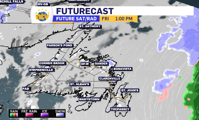
A bit of snow passes over the Avalon, brushing the Bonavista and Burin Peninsula, through the overnight but lingers in the Metro region for some of it’s heaviest snowfall during Friday’s morning commute.
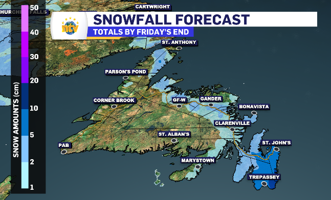
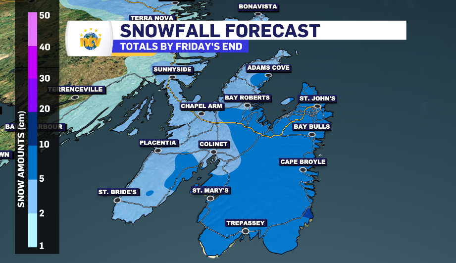
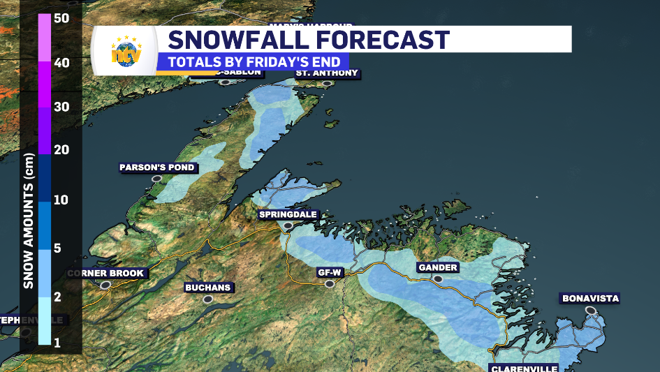
5-20 cm of snow expected across Avalon Friday, flurries touch portions of Newfoundland
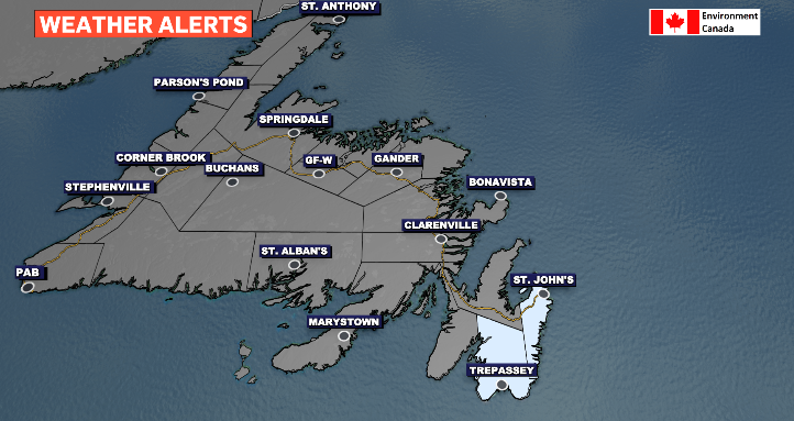
The snow totals, compared to the winter we’ve had, are somewhat limited. However the rate of snowfall for the Metro region looks to peak at the 2 cm/h mark just as the morning commute starts. This is why we find portions of the Avalon under a special weather statement from Environment Canada.
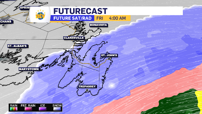
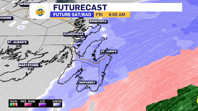
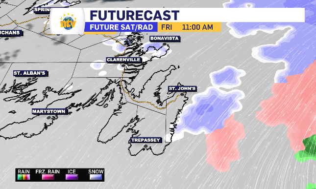
The breakdown of expected snowfall totals is pretty straight forward. Metro is in the 10-15 cm range. St. Shott’s to Cape Broyle has the opportunity to breach 15 cm and push towards 20 cm. The western side of the Avalon, including CBN, is looking at 5 cm which matches Bonavista. Beyond that, 2-4 cm is expected in flurry form. Around the flurries is some extra cloud and some sunny breaks.
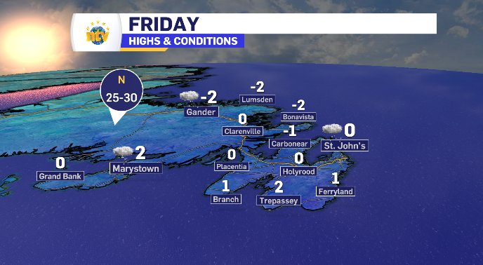
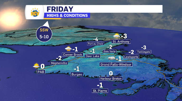
Friday’s daytime highs for Newfoundland and Labrador
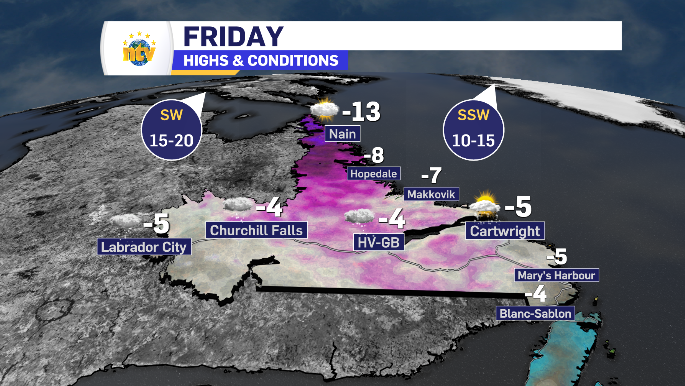
Flurries stretch across Labrador Friday
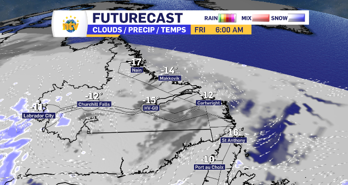
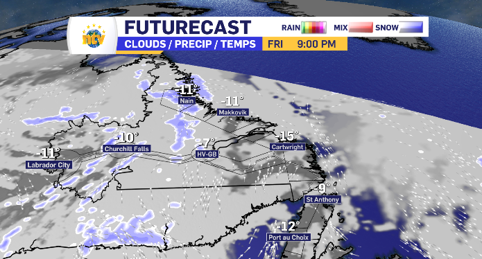
Flurries kick off in Labrador West through the overnight into early Friday morning. From Labrador City to Churchill Falls and push up into Nain Friday night for 2-4 cm a piece. They start to break apart heading into Happy Valley-Goose Bay by nightfall resulting just a light dusting at most. Temperatures look to sit just above season as the day warms along the way.